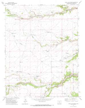
Jones Lake Spring Topo Map Colorado
To zoom in, hover over the map of Jones Lake Spring
USGS Topo Quad 37104f3 - 1:24,000 scale
| Topo Map Name: | Jones Lake Spring |
| USGS Topo Quad ID: | 37104f3 |
| Print Size: | ca. 21 1/4" wide x 27" high |
| Southeast Coordinates: | 37.625° N latitude / 104.25° W longitude |
| Map Center Coordinates: | 37.6875° N latitude / 104.3125° W longitude |
| U.S. State: | CO |
| Filename: | o37104f3.jpg |
| Download Map JPG Image: | Jones Lake Spring topo map 1:24,000 scale |
| Map Type: | Topographic |
| Topo Series: | 7.5´ |
| Map Scale: | 1:24,000 |
| Source of Map Images: | United States Geological Survey (USGS) |
| Alternate Map Versions: |
Jones Lake Spring CO 1971, updated 1974 Download PDF Buy paper map Jones Lake Spring CO 2010 Download PDF Buy paper map Jones Lake Spring CO 2013 Download PDF Buy paper map Jones Lake Spring CO 2016 Download PDF Buy paper map |
1:24,000 Topo Quads surrounding Jones Lake Spring
> Back to 37104e1 at 1:100,000 scale
> Back to 37104a1 at 1:250,000 scale
> Back to U.S. Topo Maps home
Jones Lake Spring topo map: Gazetteer
Jones Lake Spring: Parks
Apishapa Game Management Area elevation 1693m 5554′Jones Lake Spring: Springs
Alum Spring elevation 1629m 5344′Harte Spring elevation 1695m 5561′
Jones Lake Spring elevation 1653m 5423′
Merrit Spring elevation 1615m 5298′
Sanchez Spring elevation 1768m 5800′
Jones Lake Spring: Streams
Tejana Arroyo elevation 1634m 5360′Jones Lake Spring: Valleys
Averson Canyon elevation 1608m 5275′Hickok Canyon elevation 1619m 5311′
Patches Canyon elevation 1657m 5436′
Jones Lake Spring: Wells
Bull Pasture Well elevation 1684m 5524′Bushmire Well elevation 1700m 5577′
Cross Canyon Well elevation 1669m 5475′
Jolly Well elevation 1690m 5544′
Mare Pasture Well Number 1 elevation 1708m 5603′
Mare Pasture Well Number 2 elevation 1698m 5570′
Polder Well Number 1 elevation 1656m 5433′
Polder Well Number 2 elevation 1666m 5465′
Jones Lake Spring digital topo map on disk
Buy this Jones Lake Spring topo map showing relief, roads, GPS coordinates and other geographical features, as a high-resolution digital map file on DVD:


