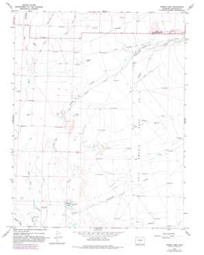
Sheds Camp Topo Map Colorado
To zoom in, hover over the map of Sheds Camp
USGS Topo Quad 37105h7 - 1:24,000 scale
| Topo Map Name: | Sheds Camp |
| USGS Topo Quad ID: | 37105h7 |
| Print Size: | ca. 21 1/4" wide x 27" high |
| Southeast Coordinates: | 37.875° N latitude / 105.75° W longitude |
| Map Center Coordinates: | 37.9375° N latitude / 105.8125° W longitude |
| U.S. State: | CO |
| Filename: | o37105h7.jpg |
| Download Map JPG Image: | Sheds Camp topo map 1:24,000 scale |
| Map Type: | Topographic |
| Topo Series: | 7.5´ |
| Map Scale: | 1:24,000 |
| Source of Map Images: | United States Geological Survey (USGS) |
| Alternate Map Versions: |
Sheds Camp CO 1967, updated 1971 Download PDF Buy paper map Sheds Camp CO 1967, updated 1982 Download PDF Buy paper map Sheds Camp CO 2010 Download PDF Buy paper map Sheds Camp CO 2013 Download PDF Buy paper map Sheds Camp CO 2016 Download PDF Buy paper map |
1:24,000 Topo Quads surrounding Sheds Camp
> Back to 37105e1 at 1:100,000 scale
> Back to 37104a1 at 1:250,000 scale
> Back to U.S. Topo Maps home
Sheds Camp topo map: Gazetteer
Sheds Camp: Canals
Crestone Ditch elevation 2308m 7572′North Crestone Ditch elevation 2317m 7601′
South Crestone Ditch elevation 2316m 7598′
Sheds Camp: Lakes
Weisman Lake elevation 2299m 7542′Sheds Camp: Streams
Cottonwood Creek elevation 2299m 7542′Crestone Creek elevation 2298m 7539′
Saguache Creek elevation 2298m 7539′
San Isabel Creek elevation 2302m 7552′
Saquache Creek elevation 2298m 7539′
Spanish Creek elevation 2303m 7555′
Willow Creek elevation 2304m 7559′
Sheds Camp digital topo map on disk
Buy this Sheds Camp topo map showing relief, roads, GPS coordinates and other geographical features, as a high-resolution digital map file on DVD:


