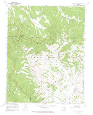
Pine Cone Knob Topo Map Colorado
To zoom in, hover over the map of Pine Cone Knob
USGS Topo Quad 37106g5 - 1:24,000 scale
| Topo Map Name: | Pine Cone Knob |
| USGS Topo Quad ID: | 37106g5 |
| Print Size: | ca. 21 1/4" wide x 27" high |
| Southeast Coordinates: | 37.75° N latitude / 106.5° W longitude |
| Map Center Coordinates: | 37.8125° N latitude / 106.5625° W longitude |
| U.S. State: | CO |
| Filename: | o37106g5.jpg |
| Download Map JPG Image: | Pine Cone Knob topo map 1:24,000 scale |
| Map Type: | Topographic |
| Topo Series: | 7.5´ |
| Map Scale: | 1:24,000 |
| Source of Map Images: | United States Geological Survey (USGS) |
| Alternate Map Versions: |
Pine Cone Knob CO 1967, updated 1969 Download PDF Buy paper map Pine Cone Knob CO 1967, updated 1969 Download PDF Buy paper map Pine Cone Knob CO 2001, updated 2005 Download PDF Buy paper map Pine Cone Knob CO 2011 Download PDF Buy paper map Pine Cone Knob CO 2013 Download PDF Buy paper map Pine Cone Knob CO 2016 Download PDF Buy paper map |
| FStopo: | US Forest Service topo Pine Cone Knob is available: Download FStopo PDF Download FStopo TIF |
1:24,000 Topo Quads surrounding Pine Cone Knob
> Back to 37106e1 at 1:100,000 scale
> Back to 37106a1 at 1:250,000 scale
> Back to U.S. Topo Maps home
Pine Cone Knob topo map: Gazetteer
Pine Cone Knob: Flats
Groundhog Park elevation 3332m 10931′Pine Cone Knob: Gaps
Milk Cow Pass elevation 3354m 11003′Pine Cone Knob: Pillars
Cathedral Rock elevation 3192m 10472′Pine Cone Knob: Springs
High Spring elevation 3015m 9891′Pine Cone Spring elevation 2933m 9622′
Shorty Spring elevation 2948m 9671′
Pine Cone Knob: Streams
Cathedral Creek elevation 2845m 9333′Dyers Creek elevation 2691m 8828′
Lone Rock Creek elevation 2843m 9327′
Mill Creek elevation 2737m 8979′
Seitz Creek elevation 2582m 8471′
Pine Cone Knob: Summits
Cyclone Mountain elevation 3100m 10170′Lone Rock elevation 2929m 9609′
Pine Cone Knob elevation 3275m 10744′
Pine Cone Knob: Valleys
Horse Canyon elevation 2792m 9160′Pine Cone Gulch elevation 2681m 8795′
Shorty Gulch elevation 2855m 9366′
Pine Cone Knob digital topo map on disk
Buy this Pine Cone Knob topo map showing relief, roads, GPS coordinates and other geographical features, as a high-resolution digital map file on DVD:


