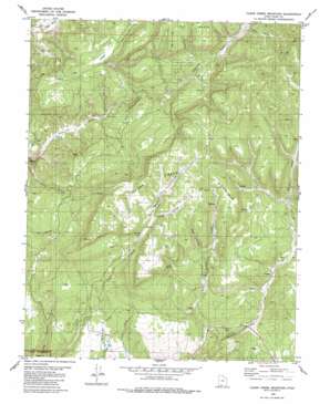
Clear Creek Mountain Topo Map Utah
To zoom in, hover over the map of Clear Creek Mountain
USGS Topo Quad 37112c7 - 1:24,000 scale
| Topo Map Name: | Clear Creek Mountain |
| USGS Topo Quad ID: | 37112c7 |
| Print Size: | ca. 21 1/4" wide x 27" high |
| Southeast Coordinates: | 37.25° N latitude / 112.75° W longitude |
| Map Center Coordinates: | 37.3125° N latitude / 112.8125° W longitude |
| U.S. State: | UT |
| Filename: | o37112c7.jpg |
| Download Map JPG Image: | Clear Creek Mountain topo map 1:24,000 scale |
| Map Type: | Topographic |
| Topo Series: | 7.5´ |
| Map Scale: | 1:24,000 |
| Source of Map Images: | United States Geological Survey (USGS) |
| Alternate Map Versions: |
Orderville Canyon SE UT 1954, updated 1956 Download PDF Buy paper map Clear Creek Mountain UT 1980, updated 1980 Download PDF Buy paper map Clear Creek Mountain UT 1980, updated 1980 Download PDF Buy paper map Clear Creek Mountain UT 2010 Download PDF Buy paper map Clear Creek Mountain UT 2014 Download PDF Buy paper map |
1:24,000 Topo Quads surrounding Clear Creek Mountain
> Back to 37112a1 at 1:100,000 scale
> Back to 37112a1 at 1:250,000 scale
> Back to U.S. Topo Maps home
Clear Creek Mountain topo map: Gazetteer
Clear Creek Mountain: Airports
L D Ranch Airport elevation 1918m 6292′Clear Creek Mountain: Benches
Table Bench elevation 2315m 7595′Clear Creek Mountain: Springs
Big Spring elevation 2176m 7139′Clear Creek Mountain: Streams
Bob Creek elevation 1786m 5859′Bob Creek elevation 1788m 5866′
Little Meadow Creek elevation 1751m 5744′
Clear Creek Mountain: Summits
Clear Creek Mountain elevation 2396m 7860′Clear Creek Mountain: Valleys
Birch Canyon elevation 1913m 6276′Birch Canyon elevation 1917m 6289′
Daves Canyon elevation 1987m 6519′
East Canyon elevation 2040m 6692′
North Twin Hollow elevation 2124m 6968′
North Twin Hollow elevation 2125m 6971′
Trough Hollow elevation 2225m 7299′
Twins Hollow elevation 2094m 6870′
Willow Canyon elevation 2228m 7309′
Clear Creek Mountain digital topo map on disk
Buy this Clear Creek Mountain topo map showing relief, roads, GPS coordinates and other geographical features, as a high-resolution digital map file on DVD:


