Yale Crossing Topo Map Utah
To zoom in, hover over the map of Yale Crossing
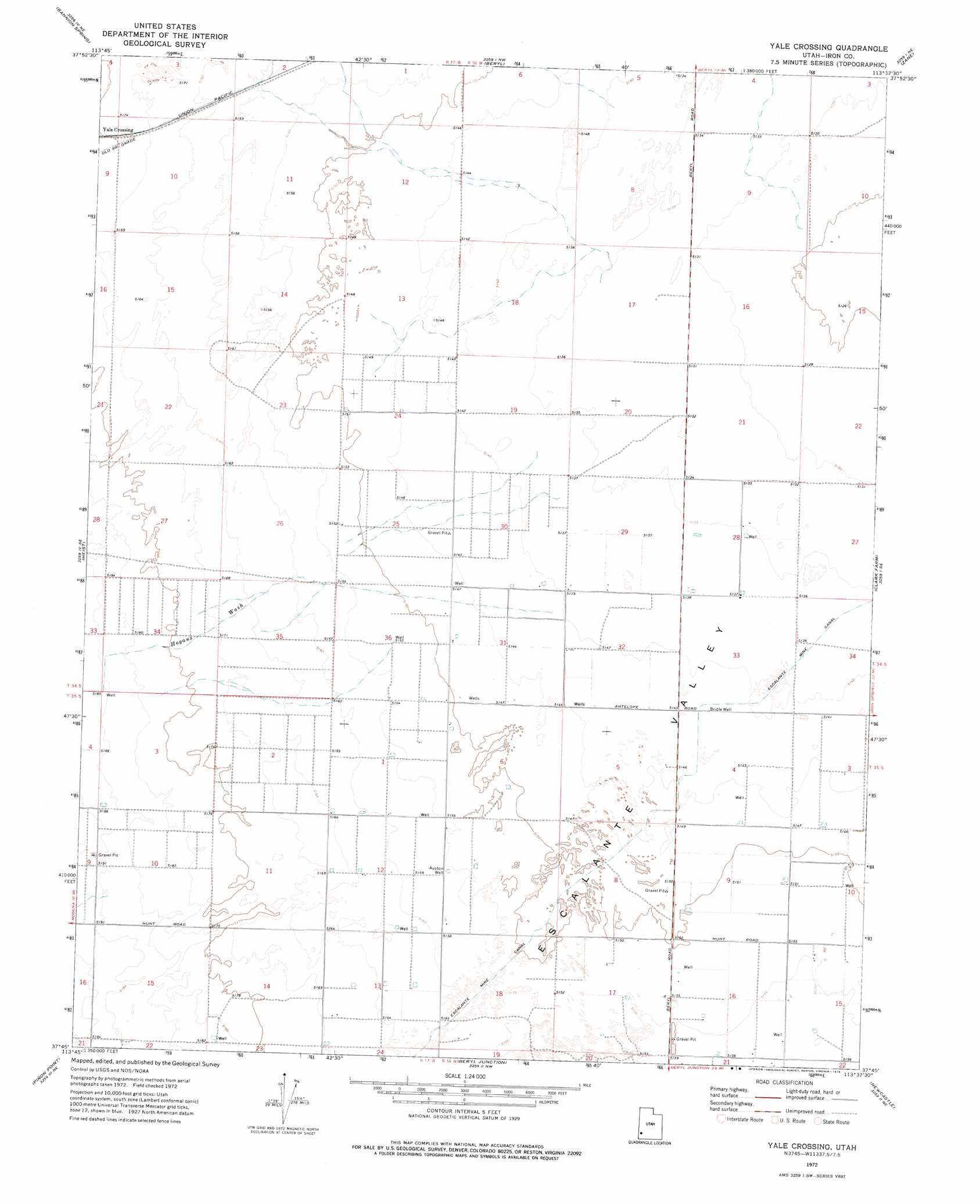
USGS Topo Quad 37113g6 - 1:24,000 scale
| Topo Map Name: | Yale Crossing |
| USGS Topo Quad ID: | 37113g6 |
| Print Size: | ca. 21 1/4" wide x 27" high |
| Southeast Coordinates: | 37.75° N latitude / 113.625° W longitude |
| Map Center Coordinates: | 37.8125° N latitude / 113.6875° W longitude |
| U.S. State: | UT |
| Filename: | o37113g6.jpg |
| Download Map JPG Image: | Yale Crossing topo map 1:24,000 scale |
| Map Type: | Topographic |
| Topo Series: | 7.5´ |
| Map Scale: | 1:24,000 |
| Source of Map Images: | United States Geological Survey (USGS) |
| Alternate Map Versions: |
Yale Crossing UT 1972, updated 1976 Download PDF Buy paper map Yale Crossing UT 2011 Download PDF Buy paper map Yale Crossing UT 2014 Download PDF Buy paper map |
1:24,000 Topo Quads surrounding Yale Crossing
Steamboat Mountain Sw |
Steamboat Mountain |
Bible Spring |
Mountain Spring Peak |
Lund |
Eightmile Spring |
Bannion Spring |
Beryl |
Zane |
Avon Nw |
Modena |
Heist |
Yale Crossing |
Clark Farm |
Antelope Peak |
Mount Escalante |
Pinon Point |
Beryl Junction |
Newcastle |
Silver Peak |
Water Canyon Peak |
Hebron |
Enterprise |
Pinto |
Page Ranch |
> Back to 37113e1 at 1:100,000 scale
> Back to 37112a1 at 1:250,000 scale
> Back to U.S. Topo Maps home
Yale Crossing topo map: Gazetteer
Yale Crossing: Populated Places
Yale Crossing elevation 1578m 5177′Yale Crossing: Valleys
Escalante Valley elevation 1567m 5141′Hogans Wash elevation 1568m 5144′
Yale Crossing: Wells
Auston Well elevation 1573m 5160′Bridle Well elevation 1568m 5144′
Yale Crossing digital topo map on disk
Buy this Yale Crossing topo map showing relief, roads, GPS coordinates and other geographical features, as a high-resolution digital map file on DVD: