Quinn Canyon Springs Nw Topo Map Nevada
To zoom in, hover over the map of Quinn Canyon Springs Nw
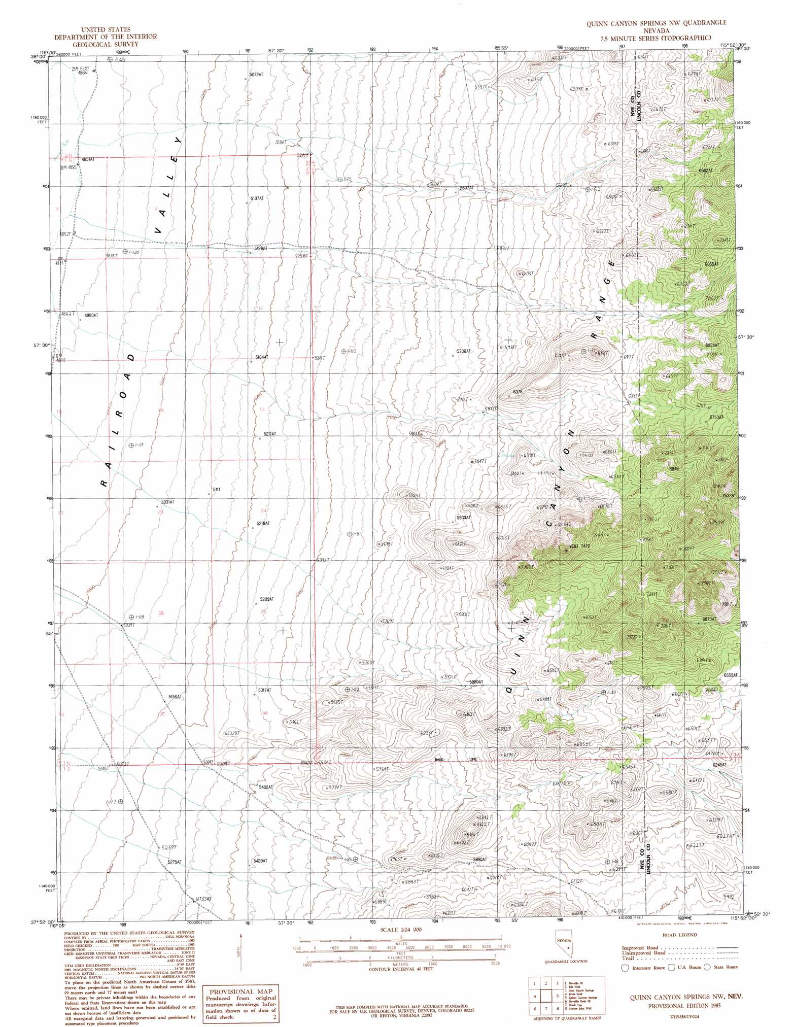
USGS Topo Quad 37115h8 - 1:24,000 scale
| Topo Map Name: | Quinn Canyon Springs Nw |
| USGS Topo Quad ID: | 37115h8 |
| Print Size: | ca. 21 1/4" wide x 27" high |
| Southeast Coordinates: | 37.875° N latitude / 115.875° W longitude |
| Map Center Coordinates: | 37.9375° N latitude / 115.9375° W longitude |
| U.S. State: | NV |
| Filename: | o37115h8.jpg |
| Download Map JPG Image: | Quinn Canyon Springs Nw topo map 1:24,000 scale |
| Map Type: | Topographic |
| Topo Series: | 7.5´ |
| Map Scale: | 1:24,000 |
| Source of Map Images: | United States Geological Survey (USGS) |
| Alternate Map Versions: |
Quinn Canyon Springs NW NV 1985, updated 1986 Download PDF Buy paper map Quinn Canyon Springs NW NV 2012 Download PDF Buy paper map Quinn Canyon Springs NW NV 2014 Download PDF Buy paper map |
1:24,000 Topo Quads surrounding Quinn Canyon Springs Nw
Twin Springs Slough |
Echo Canyon |
Goat Ranch Well |
Big Creek Ranch |
Nyala |
Reveille |
Reveille Se |
Eds Well |
Goat Ranch Springs |
Badger Gulch |
Reveille Peak Nw |
Freds Well |
Quinn Canyon Springs Nw |
Quinn Canyon Springs |
Mccutchen Spring |
Reveille Peak |
Reveille Peak Se |
Black Top |
Honest John Well |
Worthington Peak Sw |
Rhyolite Knob |
Monotony Valley |
White Blotch Springs Nw |
White Blotch Springs Ne |
Timpiute Mountain North |
> Back to 37115e1 at 1:100,000 scale
> Back to 37114a1 at 1:250,000 scale
> Back to U.S. Topo Maps home
Quinn Canyon Springs Nw topo map: Gazetteer
Quinn Canyon Springs Nw: Springs
Seeps Spring elevation 1955m 6414′Quinn Canyon Springs Nw: Valleys
Moonshine Canyon elevation 1525m 5003′Quinn Canyon Springs Nw digital topo map on disk
Buy this Quinn Canyon Springs Nw topo map showing relief, roads, GPS coordinates and other geographical features, as a high-resolution digital map file on DVD: