Yucca Flat Topo Map Nevada
To zoom in, hover over the map of Yucca Flat
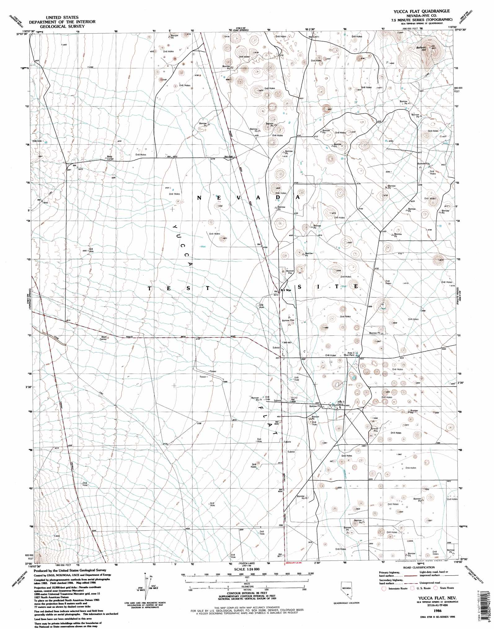
USGS Topo Quad 37116a1 - 1:24,000 scale
| Topo Map Name: | Yucca Flat |
| USGS Topo Quad ID: | 37116a1 |
| Print Size: | ca. 21 1/4" wide x 27" high |
| Southeast Coordinates: | 37° N latitude / 116° W longitude |
| Map Center Coordinates: | 37.0625° N latitude / 116.0625° W longitude |
| U.S. State: | NV |
| Filename: | o37116a1.jpg |
| Download Map JPG Image: | Yucca Flat topo map 1:24,000 scale |
| Map Type: | Topographic |
| Topo Series: | 7.5´ |
| Map Scale: | 1:24,000 |
| Source of Map Images: | United States Geological Survey (USGS) |
| Alternate Map Versions: |
Yucca Flat NV 1960, updated 1961 Download PDF Buy paper map Yucca Flat NV 1960, updated 1977 Download PDF Buy paper map Yucca Flat NV 1960, updated 1984 Download PDF Buy paper map Yucca Flat NV 1986, updated 1987 Download PDF Buy paper map Yucca Flat NV 1986, updated 1987 Download PDF Buy paper map |
1:24,000 Topo Quads surrounding Yucca Flat
Dead Horse Flat |
Quartet Dome |
Oak Spring Butte |
Groom Mine Sw |
Groom Mine |
Ammonia Tanks |
Rainier Mesa |
Oak Spring |
Jangle Ridge |
Papoose Range |
Buckboard Mesa |
Tippipah Spring |
Yucca Flat |
Paiute Ridge |
Papoose Lake |
Topopah Spring |
Mine Mountain |
Yucca Lake |
Plutonium Valley |
Aysees Peak |
Jackass Flats |
Skull Mountain |
Cane Spring |
Frenchman Lake |
Frenchman Lake Se |
> Back to 37116a1 at 1:100,000 scale
> Back to 37116a1 at 1:250,000 scale
> Back to U.S. Topo Maps home
Yucca Flat topo map: Gazetteer
Yucca Flat: Flats
Yucca Flat elevation 1247m 4091′Yucca Flat: Summits
Balloon Hill elevation 1476m 4842′Yucca Flat: Wells
Drill Hole A-2 elevation 1221m 4005′Drill Hole D elevation 1266m 4153′
Yucca Flat digital topo map on disk
Buy this Yucca Flat topo map showing relief, roads, GPS coordinates and other geographical features, as a high-resolution digital map file on DVD: