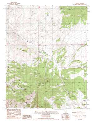
Sylvania Mountains Topo Map Nevada
To zoom in, hover over the map of Sylvania Mountains
USGS Topo Quad 37117d6 - 1:24,000 scale
| Topo Map Name: | Sylvania Mountains |
| USGS Topo Quad ID: | 37117d6 |
| Print Size: | ca. 21 1/4" wide x 27" high |
| Southeast Coordinates: | 37.375° N latitude / 117.625° W longitude |
| Map Center Coordinates: | 37.4375° N latitude / 117.6875° W longitude |
| U.S. States: | NV, CA |
| Filename: | o37117d6.jpg |
| Download Map JPG Image: | Sylvania Mountains topo map 1:24,000 scale |
| Map Type: | Topographic |
| Topo Series: | 7.5´ |
| Map Scale: | 1:24,000 |
| Source of Map Images: | United States Geological Survey (USGS) |
| Alternate Map Versions: |
Sylvania Mts NV 1987, updated 1987 Download PDF Buy paper map Sylvania Mountains NV 2012 Download PDF Buy paper map Sylvania Mountains NV 2015 Download PDF Buy paper map |
1:24,000 Topo Quads surrounding Sylvania Mountains
> Back to 37117a1 at 1:100,000 scale
> Back to 37116a1 at 1:250,000 scale
> Back to U.S. Topo Maps home
Sylvania Mountains topo map: Gazetteer
Sylvania Mountains: Areas
Sylvania Mountains elevation 2416m 7926′Sylvania Mountains: Mines
Carolina Mine elevation 2317m 7601′Deuces Mine elevation 1933m 6341′
Four Aces Mine elevation 2148m 7047′
Louisiana Mine elevation 2477m 8126′
Palmetto Mine elevation 2328m 7637′
Sylvania Mine elevation 2298m 7539′
Tennessee Mine elevation 2322m 7618′
Sylvania Mountains: Populated Places
Pigeon Spring (historical) elevation 1949m 6394′Sylvania elevation 2217m 7273′
Sylvania Mountains: Post Offices
Palmetto Post Office elevation 1883m 6177′Pigeon Spring Post Office elevation 1949m 6394′
Sylvania Mountains: Ranges
Sylvania Mountains elevation 2397m 7864′Sylvania Mountains: Springs
Carpenter Spring elevation 2129m 6984′Log Spring elevation 2061m 6761′
Mud Spring elevation 2020m 6627′
Pigeon Spring elevation 1990m 6528′
Sylvania Mountains digital topo map on disk
Buy this Sylvania Mountains topo map showing relief, roads, GPS coordinates and other geographical features, as a high-resolution digital map file on DVD:


