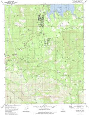
Shaver Lake Topo Map California
To zoom in, hover over the map of Shaver Lake
USGS Topo Quad 37119a3 - 1:24,000 scale
| Topo Map Name: | Shaver Lake |
| USGS Topo Quad ID: | 37119a3 |
| Print Size: | ca. 21 1/4" wide x 27" high |
| Southeast Coordinates: | 37° N latitude / 119.25° W longitude |
| Map Center Coordinates: | 37.0625° N latitude / 119.3125° W longitude |
| U.S. State: | CA |
| Filename: | o37119a3.jpg |
| Download Map JPG Image: | Shaver Lake topo map 1:24,000 scale |
| Map Type: | Topographic |
| Topo Series: | 7.5´ |
| Map Scale: | 1:24,000 |
| Source of Map Images: | United States Geological Survey (USGS) |
| Alternate Map Versions: |
Shaver Lake CA 1982, updated 1983 Download PDF Buy paper map Shaver Lake CA 1982, updated 1987 Download PDF Buy paper map Shaver Lake CA 2004, updated 2007 Download PDF Buy paper map Shaver Lake CA 2012 Download PDF Buy paper map Shaver Lake CA 2015 Download PDF Buy paper map |
| FStopo: | US Forest Service topo Shaver Lake is available: Download FStopo PDF Download FStopo TIF |
1:24,000 Topo Quads surrounding Shaver Lake
> Back to 37119a1 at 1:100,000 scale
> Back to 37118a1 at 1:250,000 scale
> Back to U.S. Topo Maps home
Shaver Lake topo map: Gazetteer
Shaver Lake: Airports
SCE Tiffany Pines Heliport elevation 1677m 5501′Shaver Lake: Flats
Poison Meadow elevation 1744m 5721′Soaproot Flat elevation 1066m 3497′
Swanson Meadow elevation 1723m 5652′
Shaver Lake: Gaps
Soaproot Saddle elevation 1187m 3894′Shaver Lake: Populated Places
Dora Belle elevation 1707m 5600′Mathews Mill elevation 952m 3123′
Ockenden elevation 1697m 5567′
Old Bretz Mill elevation 1775m 5823′
Pineridge elevation 1476m 4842′
Shaver Lake elevation 1715m 5626′
Shaver Lake Heights elevation 1707m 5600′
Sierra Cedars elevation 1766m 5793′
Shaver Lake: Post Offices
Shaver Lake Post Office elevation 1708m 5603′Shaver Lake: Ridges
Pine Ridge elevation 1817m 5961′Pine Ridge elevation 1386m 4547′
Shaver Lake: Streams
Markwood Creek elevation 1690m 5544′North Fork Sycamore Creek elevation 615m 2017′
Summit Creek elevation 1130m 3707′
Taylor Creek elevation 1360m 4461′
Shaver Lake: Summits
Burrough Mountain elevation 1263m 4143′Mount Stevenson elevation 1941m 6368′
Shaver Lake digital topo map on disk
Buy this Shaver Lake topo map showing relief, roads, GPS coordinates and other geographical features, as a high-resolution digital map file on DVD:


