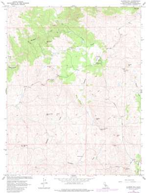
Illinois Hill Topo Map California
To zoom in, hover over the map of Illinois Hill
USGS Topo Quad 37120c1 - 1:24,000 scale
| Topo Map Name: | Illinois Hill |
| USGS Topo Quad ID: | 37120c1 |
| Print Size: | ca. 21 1/4" wide x 27" high |
| Southeast Coordinates: | 37.25° N latitude / 120° W longitude |
| Map Center Coordinates: | 37.3125° N latitude / 120.0625° W longitude |
| U.S. State: | CA |
| Filename: | o37120c1.jpg |
| Download Map JPG Image: | Illinois Hill topo map 1:24,000 scale |
| Map Type: | Topographic |
| Topo Series: | 7.5´ |
| Map Scale: | 1:24,000 |
| Source of Map Images: | United States Geological Survey (USGS) |
| Alternate Map Versions: |
Illinois Hill CA 1962, updated 1963 Download PDF Buy paper map Illinois Hill CA 1962, updated 1981 Download PDF Buy paper map Illinois Hill CA 1962, updated 1981 Download PDF Buy paper map Illinois Hill CA 1999, updated 2002 Download PDF Buy paper map Illinois Hill CA 2012 Download PDF Buy paper map Illinois Hill CA 2015 Download PDF Buy paper map |
1:24,000 Topo Quads surrounding Illinois Hill
> Back to 37120a1 at 1:100,000 scale
> Back to 37120a1 at 1:250,000 scale
> Back to U.S. Topo Maps home
Illinois Hill topo map: Gazetteer
Illinois Hill: Mines
Goodview Mine elevation 322m 1056′Great Northern Mine elevation 243m 797′
Johnnie Green Mine elevation 332m 1089′
Klondike Mine elevation 392m 1286′
Last Chance Mine elevation 398m 1305′
Lookout Mine elevation 329m 1079′
Pocahontas Mine elevation 336m 1102′
San Jose Mine elevation 316m 1036′
Toad Mine elevation 313m 1026′
White Rock Mine elevation 318m 1043′
Illinois Hill: Pillars
Quartz Rock elevation 215m 705′Illinois Hill: Summits
Copper Hill elevation 381m 1250′Cow and Calf Mountain elevation 325m 1066′
Flat Top Mountain elevation 254m 833′
Illinois Hill elevation 507m 1663′
Illinois Hill: Valleys
Brushy Canyon elevation 198m 649′Illinois Hill digital topo map on disk
Buy this Illinois Hill topo map showing relief, roads, GPS coordinates and other geographical features, as a high-resolution digital map file on DVD:


