Sandy Hook Topo Map Kentucky
To zoom in, hover over the map of Sandy Hook
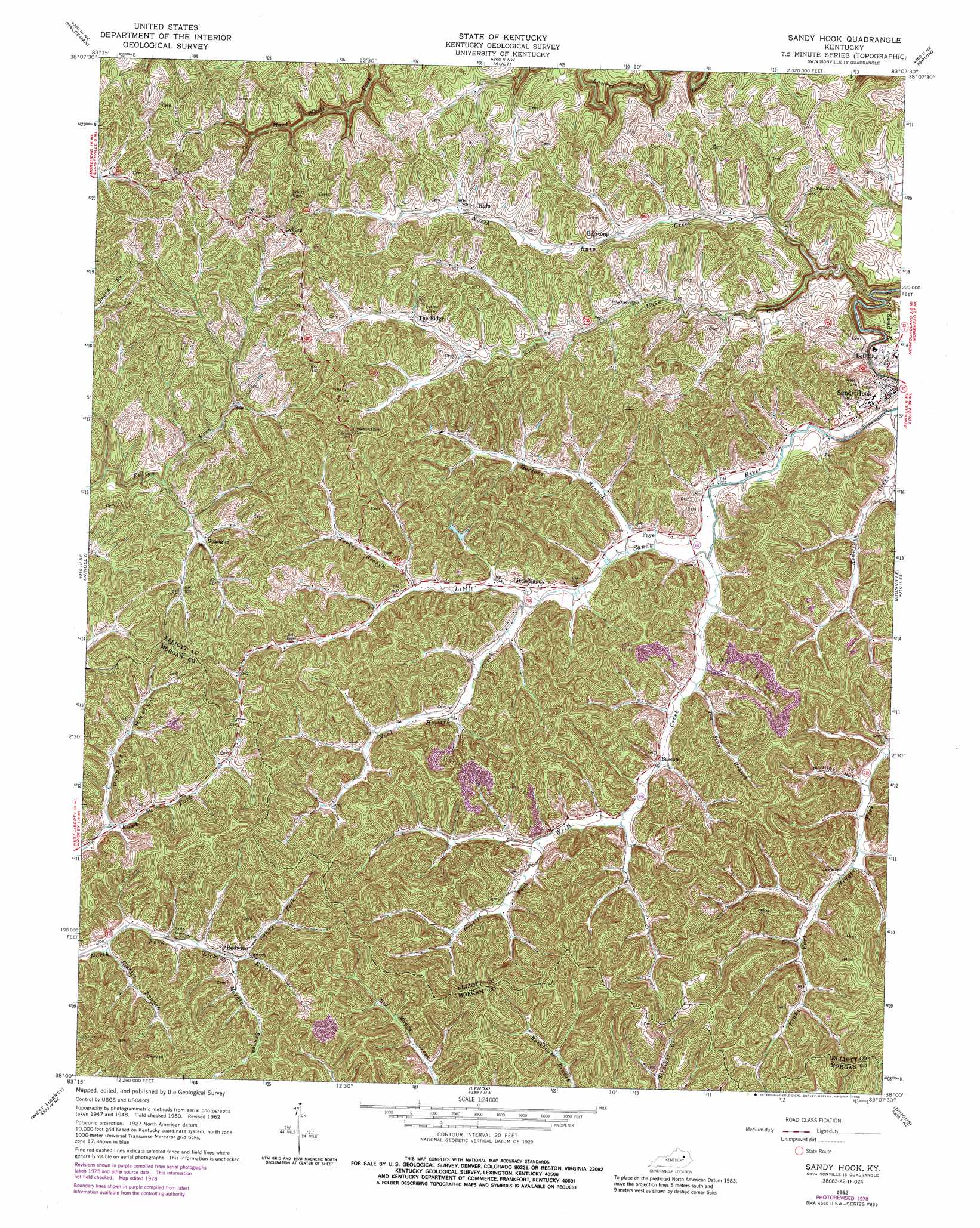
USGS Topo Quad 38083a2 - 1:24,000 scale
| Topo Map Name: | Sandy Hook |
| USGS Topo Quad ID: | 38083a2 |
| Print Size: | ca. 21 1/4" wide x 27" high |
| Southeast Coordinates: | 38° N latitude / 83.125° W longitude |
| Map Center Coordinates: | 38.0625° N latitude / 83.1875° W longitude |
| U.S. State: | KY |
| Filename: | o38083a2.jpg |
| Download Map JPG Image: | Sandy Hook topo map 1:24,000 scale |
| Map Type: | Topographic |
| Topo Series: | 7.5´ |
| Map Scale: | 1:24,000 |
| Source of Map Images: | United States Geological Survey (USGS) |
| Alternate Map Versions: |
Sandy Hook KY 1950, updated 1952 Download PDF Buy paper map Sandy Hook KY 1962, updated 1964 Download PDF Buy paper map Sandy Hook KY 1962, updated 1976 Download PDF Buy paper map Sandy Hook KY 1962, updated 1978 Download PDF Buy paper map Sandy Hook KY 1962, updated 1988 Download PDF Buy paper map Sandy Hook KY 2010 Download PDF Buy paper map Sandy Hook KY 2013 Download PDF Buy paper map Sandy Hook KY 2016 Download PDF Buy paper map |
1:24,000 Topo Quads surrounding Sandy Hook
Cranston |
Soldier |
Olive Hill |
Grahn |
Grayson |
Morehead |
Haldeman |
Ault |
Bruin |
Willard |
Bangor |
Wrigley |
Sandy Hook |
Isonville |
Mazie |
Ezel |
West Liberty |
Lenox |
Dingus |
Redbush |
Hazel Green |
Cannel City |
White Oak |
Salyersville North |
Oil Springs |
> Back to 38083a1 at 1:100,000 scale
> Back to 38082a1 at 1:250,000 scale
> Back to U.S. Topo Maps home
Sandy Hook topo map: Gazetteer
Sandy Hook: Populated Places
Bascom elevation 233m 764′Bell City elevation 228m 748′
Bigstone elevation 262m 859′
Devil Fork (historical) elevation 295m 967′
Faye elevation 230m 754′
Little Sandy elevation 240m 787′
Lytten elevation 352m 1154′
Redwine elevation 274m 898′
Sandy Hook elevation 235m 770′
Spanglin elevation 275m 902′
The Ridge elevation 279m 915′
Wells Creek elevation 242m 793′
Sandy Hook: Post Offices
Bascom Post Office (historical) elevation 231m 757′Bigstone Post Office (historical) elevation 260m 853′
Faye Post Office (historical) elevation 230m 754′
Guss Post Office (historical) elevation 234m 767′
Little Sandy Post Office (historical) elevation 236m 774′
Little Sandy Post Office (historical) elevation 242m 793′
Loveland Post Office (historical) elevation 278m 912′
Lytten Post Office (historical) elevation 358m 1174′
Lytten Post Office (historical) elevation 295m 967′
Redwine Post Office (historical) elevation 279m 915′
Ruin Post Office (historical) elevation 279m 915′
Ruin Post Office (historical) elevation 280m 918′
Spanglin Post Office (historical) elevation 273m 895′
The Ridge Post Office (historical) elevation 275m 902′
Sandy Hook: Streams
Clebitt Branch elevation 259m 849′Doctors Branch elevation 224m 734′
Hopkins Cave Branch elevation 218m 715′
Howards Creek elevation 209m 685′
Ira Ison Branch elevation 228m 748′
Left Fork Howards Creek elevation 224m 734′
Mordica Branch elevation 269m 882′
Neal Howard Creek elevation 231m 757′
North Ruin Creek elevation 222m 728′
Pruetts Fork elevation 219m 718′
Sandy Fork elevation 282m 925′
South Ruin Creek elevation 208m 682′
Turkey Branch elevation 240m 787′
Wells Creek elevation 219m 718′
Sandy Hook: Summits
Bob Horton Hill elevation 385m 1263′Doctors Knob elevation 376m 1233′
Elisha Fannin Hill elevation 314m 1030′
Fannin Hill elevation 320m 1049′
The Jeff Knob elevation 319m 1046′
Sandy Hook: Valleys
Mullins Hollow elevation 231m 757′Poplar Hollow elevation 263m 862′
Sandy Hook digital topo map on disk
Buy this Sandy Hook topo map showing relief, roads, GPS coordinates and other geographical features, as a high-resolution digital map file on DVD:
Western Virginia & Southern West Virginia
Buy digital topo maps: Western Virginia & Southern West Virginia