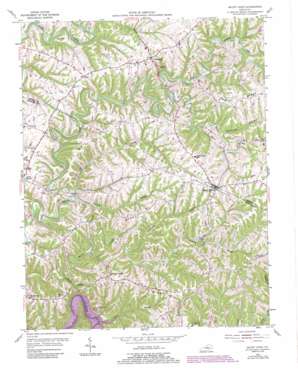
Mount Eden Topo Map Kentucky
To zoom in, hover over the map of Mount Eden
USGS Topo Quad 38085a2 - 1:24,000 scale
| Topo Map Name: | Mount Eden |
| USGS Topo Quad ID: | 38085a2 |
| Print Size: | ca. 21 1/4" wide x 27" high |
| Southeast Coordinates: | 38° N latitude / 85.125° W longitude |
| Map Center Coordinates: | 38.0625° N latitude / 85.1875° W longitude |
| U.S. State: | KY |
| Filename: | o38085a2.jpg |
| Download Map JPG Image: | Mount Eden topo map 1:24,000 scale |
| Map Type: | Topographic |
| Topo Series: | 7.5´ |
| Map Scale: | 1:24,000 |
| Source of Map Images: | United States Geological Survey (USGS) |
| Alternate Map Versions: |
Mount Eden KY 1954, updated 1955 Download PDF Buy paper map Mount Eden KY 1954, updated 1973 Download PDF Buy paper map Mount Eden KY 1954, updated 1984 Download PDF Buy paper map Mount Eden KY 1954, updated 1987 Download PDF Buy paper map Mount Eden KY 2010 Download PDF Buy paper map Mount Eden KY 2013 Download PDF Buy paper map Mount Eden KY 2016 Download PDF Buy paper map |
1:24,000 Topo Quads surrounding Mount Eden
> Back to 38085a1 at 1:100,000 scale
> Back to 38084a1 at 1:250,000 scale
> Back to U.S. Topo Maps home
Mount Eden topo map: Gazetteer
Mount Eden: Populated Places
Leatherwoods Settlement (historical) elevation 222m 728′Mount Eden elevation 258m 846′
Southville elevation 250m 820′
Sunnyside (historical) elevation 227m 744′
Mount Eden: Post Offices
Briar Ridge Church Post Office (historical) elevation 227m 744′Hugo Post Office (historical) elevation 252m 826′
Loveville Post Office (historical) elevation 165m 541′
Snider Post Office (historical) elevation 238m 780′
Mount Eden: Ridges
Brier Ridge elevation 230m 754′Pea Ridge elevation 256m 839′
Possum Ridge elevation 231m 757′
Mount Eden: Streams
Back Creek elevation 212m 695′Blue Stone Creek elevation 198m 649′
Bold Run elevation 204m 669′
Candy Branch elevation 165m 541′
Dutchman Branch elevation 184m 603′
Elk Creek elevation 180m 590′
Little Beech Creek elevation 203m 666′
Rattlesnake Branch elevation 203m 666′
Red River elevation 213m 698′
Tenmile Creek elevation 179m 587′
Thatcher Branch elevation 175m 574′
Mount Eden: Summits
Elk Hill elevation 239m 784′Mount Eden digital topo map on disk
Buy this Mount Eden topo map showing relief, roads, GPS coordinates and other geographical features, as a high-resolution digital map file on DVD:


