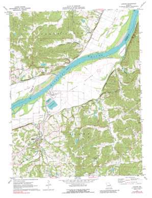
Labadie Topo Map Missouri
To zoom in, hover over the map of Labadie
USGS Topo Quad 38090e7 - 1:24,000 scale
| Topo Map Name: | Labadie |
| USGS Topo Quad ID: | 38090e7 |
| Print Size: | ca. 21 1/4" wide x 27" high |
| Southeast Coordinates: | 38.5° N latitude / 90.75° W longitude |
| Map Center Coordinates: | 38.5625° N latitude / 90.8125° W longitude |
| U.S. State: | MO |
| Filename: | o38090e7.jpg |
| Download Map JPG Image: | Labadie topo map 1:24,000 scale |
| Map Type: | Topographic |
| Topo Series: | 7.5´ |
| Map Scale: | 1:24,000 |
| Source of Map Images: | United States Geological Survey (USGS) |
| Alternate Map Versions: |
Labadie MO 1972, updated 1973 Download PDF Buy paper map Labadie MO 1972, updated 1988 Download PDF Buy paper map Labadie MO 2012 Download PDF Buy paper map Labadie MO 2015 Download PDF Buy paper map |
1:24,000 Topo Quads surrounding Labadie
> Back to 38090e1 at 1:100,000 scale
> Back to 38090a1 at 1:250,000 scale
> Back to U.S. Topo Maps home
Labadie topo map: Gazetteer
Labadie: Bends
Darst Bottoms elevation 142m 465′Labadie Bottoms elevation 143m 469′
Labadie: Dams
Ash Pond Dike elevation 147m 482′Ash Pond Dike North elevation 149m 488′
Becker Lake Dam elevation 161m 528′
Hermit Hollow Lake Dam elevation 195m 639′
Hughes Lake Dam elevation 188m 616′
Inman Lake Dam elevation 161m 528′
Klondike Lake Dam elevation 166m 544′
Koenig Dam elevation 161m 528′
Las Brisas Lake Dam elevation 233m 764′
Little Lake in the Woods Dam elevation 216m 708′
Meyer Lake Dam elevation 172m 564′
Number 488 Dam elevation 170m 557′
Purina Lake Dam elevation 179m 587′
Sherrel Lake Dam elevation 191m 626′
Zinsmeyer Lake Dam elevation 176m 577′
Labadie: Islands
Saint Albans Island elevation 142m 465′Labadie: Mines
Tavern Rock Quarry elevation 177m 580′Labadie: Populated Places
Klondike elevation 173m 567′Labadie elevation 159m 521′
Matson elevation 158m 518′
Oetters elevation 146m 479′
Saint Albans elevation 147m 482′
Labadie: Reservoirs
Ash Disposal Pond elevation 147m 482′Hermit Hollow Lake elevation 195m 639′
Hughes Lake elevation 188m 616′
Inman Lake elevation 161m 528′
Katy Reservoir elevation 161m 528′
Klondike Lake elevation 166m 544′
Labadie Power Plant Reservoir elevation 149m 488′
Las Brisas Lake elevation 233m 764′
Little Lake in the Woods elevation 216m 708′
Labadie: Streams
Becker Creek elevation 144m 472′Bigelow Creek elevation 139m 456′
Crow Creek elevation 139m 456′
Fiddle Creek elevation 137m 449′
Fisher Creek elevation 138m 452′
Iman Branch elevation 141m 462′
Kirbaum Branch elevation 229m 751′
Labadie Creek elevation 139m 456′
Lartto Creek elevation 152m 498′
Little Tavern Creek elevation 140m 459′
Tavern Creek elevation 140m 459′
Labadie: Summits
Tavern Rock elevation 268m 879′Labadie digital topo map on disk
Buy this Labadie topo map showing relief, roads, GPS coordinates and other geographical features, as a high-resolution digital map file on DVD:


