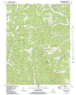
Proctor Creek Topo Map Missouri
To zoom in, hover over the map of Proctor Creek
USGS Topo Quad 38092c8 - 1:24,000 scale
| Topo Map Name: | Proctor Creek |
| USGS Topo Quad ID: | 38092c8 |
| Print Size: | ca. 21 1/4" wide x 27" high |
| Southeast Coordinates: | 38.25° N latitude / 92.875° W longitude |
| Map Center Coordinates: | 38.3125° N latitude / 92.9375° W longitude |
| U.S. State: | MO |
| Filename: | o38092c8.jpg |
| Download Map JPG Image: | Proctor Creek topo map 1:24,000 scale |
| Map Type: | Topographic |
| Topo Series: | 7.5´ |
| Map Scale: | 1:24,000 |
| Source of Map Images: | United States Geological Survey (USGS) |
| Alternate Map Versions: |
Proctor Creek MO 1935 Download PDF Buy paper map Proctor Creek MO 1959, updated 1960 Download PDF Buy paper map Proctor Creek MO 1959, updated 1967 Download PDF Buy paper map Proctor Creek MO 1983, updated 1983 Download PDF Buy paper map Proctor Creek MO 2011 Download PDF Buy paper map Proctor Creek MO 2015 Download PDF Buy paper map |
1:24,000 Topo Quads surrounding Proctor Creek
> Back to 38092a1 at 1:100,000 scale
> Back to 38092a1 at 1:250,000 scale
> Back to U.S. Topo Maps home
Proctor Creek topo map: Gazetteer
Proctor Creek: Basins
Dry Sink elevation 279m 915′Proctor Creek: Dams
Dennis Lake Dam elevation 295m 967′Proctor Creek: Parks
Proctor Towersite State Wildlife Area elevation 344m 1128′Proctor Creek: Populated Places
Proctor elevation 210m 688′Todd (historical) elevation 239m 784′
Proctor Creek: Streams
Flag Branch elevation 237m 777′Holt Creek elevation 230m 754′
Locust Creek elevation 215m 705′
Proctor Creek elevation 202m 662′
Rocky Ford Creek elevation 223m 731′
Proctor Creek: Valleys
Bates Hollow elevation 211m 692′Brewer Hollow elevation 249m 816′
Brewner Hollow elevation 216m 708′
Bryant Hollow elevation 219m 718′
Coon Rod Hollow elevation 223m 731′
Decker Hollow elevation 239m 784′
Indian Camp Hollow elevation 216m 708′
Markham Hollow elevation 228m 748′
Proctor Hollow elevation 202m 662′
Sawmill Hollow elevation 218m 715′
Shop Hollow elevation 232m 761′
Spangler Hollow elevation 235m 770′
Sugar Camp Hollow elevation 216m 708′
Proctor Creek digital topo map on disk
Buy this Proctor Creek topo map showing relief, roads, GPS coordinates and other geographical features, as a high-resolution digital map file on DVD:


