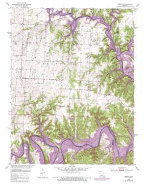
Leesville Topo Map Missouri
To zoom in, hover over the map of Leesville
USGS Topo Quad 38093c5 - 1:24,000 scale
| Topo Map Name: | Leesville |
| USGS Topo Quad ID: | 38093c5 |
| Print Size: | ca. 21 1/4" wide x 27" high |
| Southeast Coordinates: | 38.25° N latitude / 93.5° W longitude |
| Map Center Coordinates: | 38.3125° N latitude / 93.5625° W longitude |
| U.S. State: | MO |
| Filename: | o38093c5.jpg |
| Download Map JPG Image: | Leesville topo map 1:24,000 scale |
| Map Type: | Topographic |
| Topo Series: | 7.5´ |
| Map Scale: | 1:24,000 |
| Source of Map Images: | United States Geological Survey (USGS) |
| Alternate Map Versions: |
Leesville MO 1953, updated 1955 Download PDF Buy paper map Leesville MO 1953, updated 1955 Download PDF Buy paper map Leesville MO 1953, updated 1982 Download PDF Buy paper map Leesville MO 2011 Download PDF Buy paper map Leesville MO 2014 Download PDF Buy paper map |
1:24,000 Topo Quads surrounding Leesville
> Back to 38093a1 at 1:100,000 scale
> Back to 38092a1 at 1:250,000 scale
> Back to U.S. Topo Maps home
Leesville topo map: Gazetteer
Leesville: Areas
Western Ozarks elevation 251m 823′Leesville: Dams
Mirror Lake Number 1 Dam elevation 241m 790′Mirror Lake Number 2 Dam elevation 228m 748′
Norfleet Lake Dam elevation 245m 803′
Plumlee Lake Dam elevation 245m 803′
Leesville: Parks
Leesville State Wildlife Management Area elevation 250m 820′Tebo Islands State Wildlife Management Area elevation 222m 728′
Windsor Crossing Public Use Area elevation 216m 708′
Leesville: Populated Places
Coal elevation 255m 836′Hortense elevation 231m 757′
Leesville elevation 249m 816′
Tightwad elevation 267m 875′
Leesville: Post Offices
Hortense Post Office (historical) elevation 231m 757′Leesville: Reservoirs
Number 135 Reservoir elevation 228m 748′Leesville: Streams
Barker Creek elevation 215m 705′Brush Creek elevation 215m 705′
Cedar Creek elevation 215m 705′
Clear Creek elevation 216m 708′
Mound Springs Creek elevation 215m 705′
Sparrow Creek elevation 216m 708′
White Oak Creek elevation 215m 705′
Leesville digital topo map on disk
Buy this Leesville topo map showing relief, roads, GPS coordinates and other geographical features, as a high-resolution digital map file on DVD:


