Abilene Topo Map Kansas
To zoom in, hover over the map of Abilene
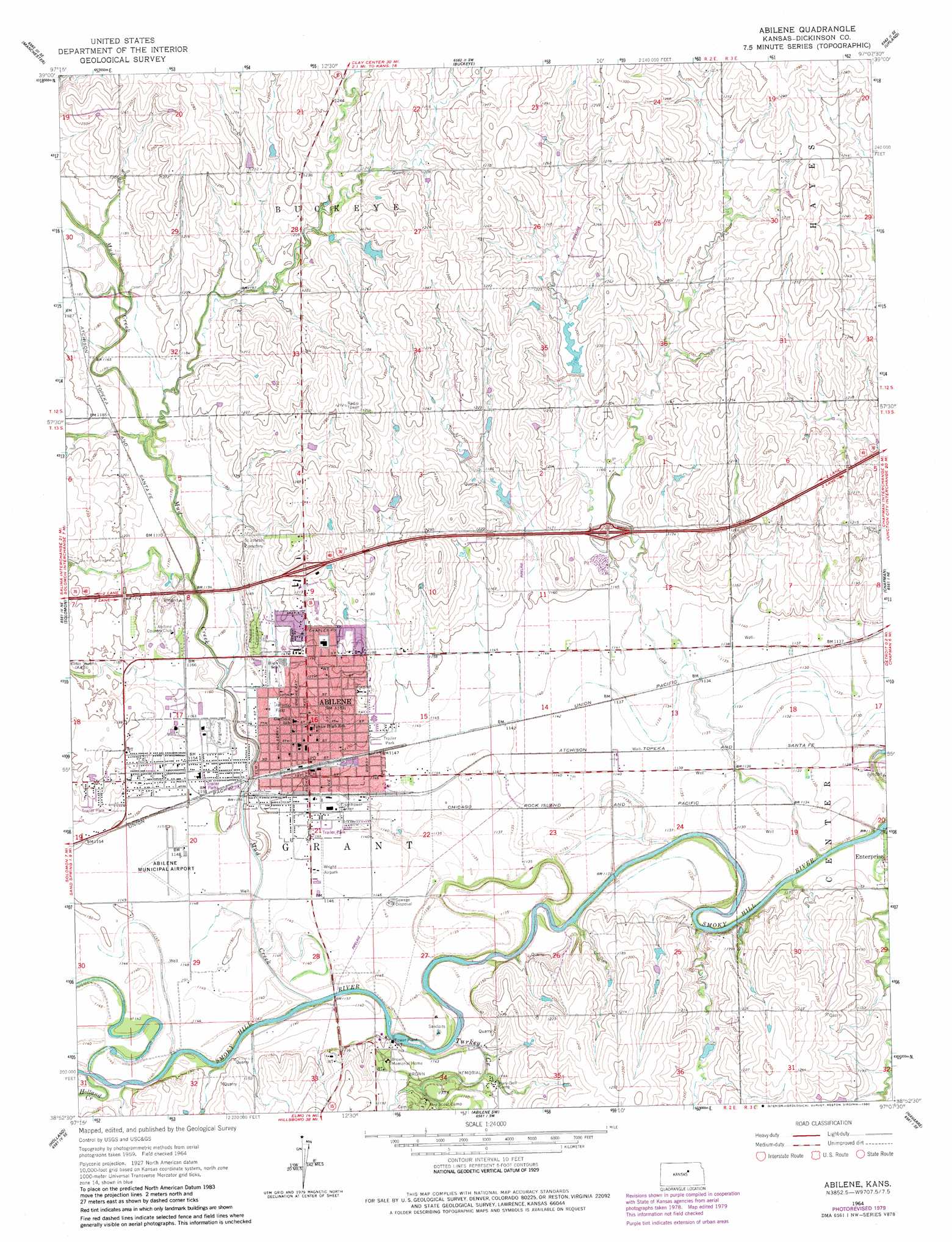
USGS Topo Quad 38097h2 - 1:24,000 scale
| Topo Map Name: | Abilene |
| USGS Topo Quad ID: | 38097h2 |
| Print Size: | ca. 21 1/4" wide x 27" high |
| Southeast Coordinates: | 38.875° N latitude / 97.125° W longitude |
| Map Center Coordinates: | 38.9375° N latitude / 97.1875° W longitude |
| U.S. State: | KS |
| Filename: | o38097h2.jpg |
| Download Map JPG Image: | Abilene topo map 1:24,000 scale |
| Map Type: | Topographic |
| Topo Series: | 7.5´ |
| Map Scale: | 1:24,000 |
| Source of Map Images: | United States Geological Survey (USGS) |
| Alternate Map Versions: |
Abilene KS 1964, updated 1965 Download PDF Buy paper map Abilene KS 1964, updated 1980 Download PDF Buy paper map Abilene KS 2009 Download PDF Buy paper map Abilene KS 2012 Download PDF Buy paper map Abilene KS 2015 Download PDF Buy paper map |
1:24,000 Topo Quads surrounding Abilene
Manchester Nw |
Longford |
Industry |
Wakefield |
Milford |
Vine Creek |
Manchester |
Buckeye |
Upland |
Milford Dam |
Niles |
Solomon |
Abilene |
Chapman |
Kansas Falls |
Kipp |
Holland |
Abilene Sw |
Navarre |
Woodbine |
Gypsum |
Carlton |
Elmo |
Hope |
Herington |
> Back to 38097e1 at 1:100,000 scale
> Back to 38096a1 at 1:250,000 scale
> Back to U.S. Topo Maps home
Abilene topo map: Gazetteer
Abilene: Airports
Abilene Municipal Airport elevation 351m 1151′Wright Airpark elevation 349m 1145′
Abilene: Parks
Abilene City Park Historic District elevation 353m 1158′Brown Memorial Park elevation 349m 1145′
Abilene: Populated Places
Abilene elevation 352m 1154′Abilene: Post Offices
Abilene Post Office elevation 352m 1154′Abilene: Streams
Holland Creek elevation 346m 1135′Mud Creek elevation 342m 1122′
Turkey Creek elevation 340m 1115′
Abilene digital topo map on disk
Buy this Abilene topo map showing relief, roads, GPS coordinates and other geographical features, as a high-resolution digital map file on DVD: