Hudson Nw Topo Map Kansas
To zoom in, hover over the map of Hudson Nw
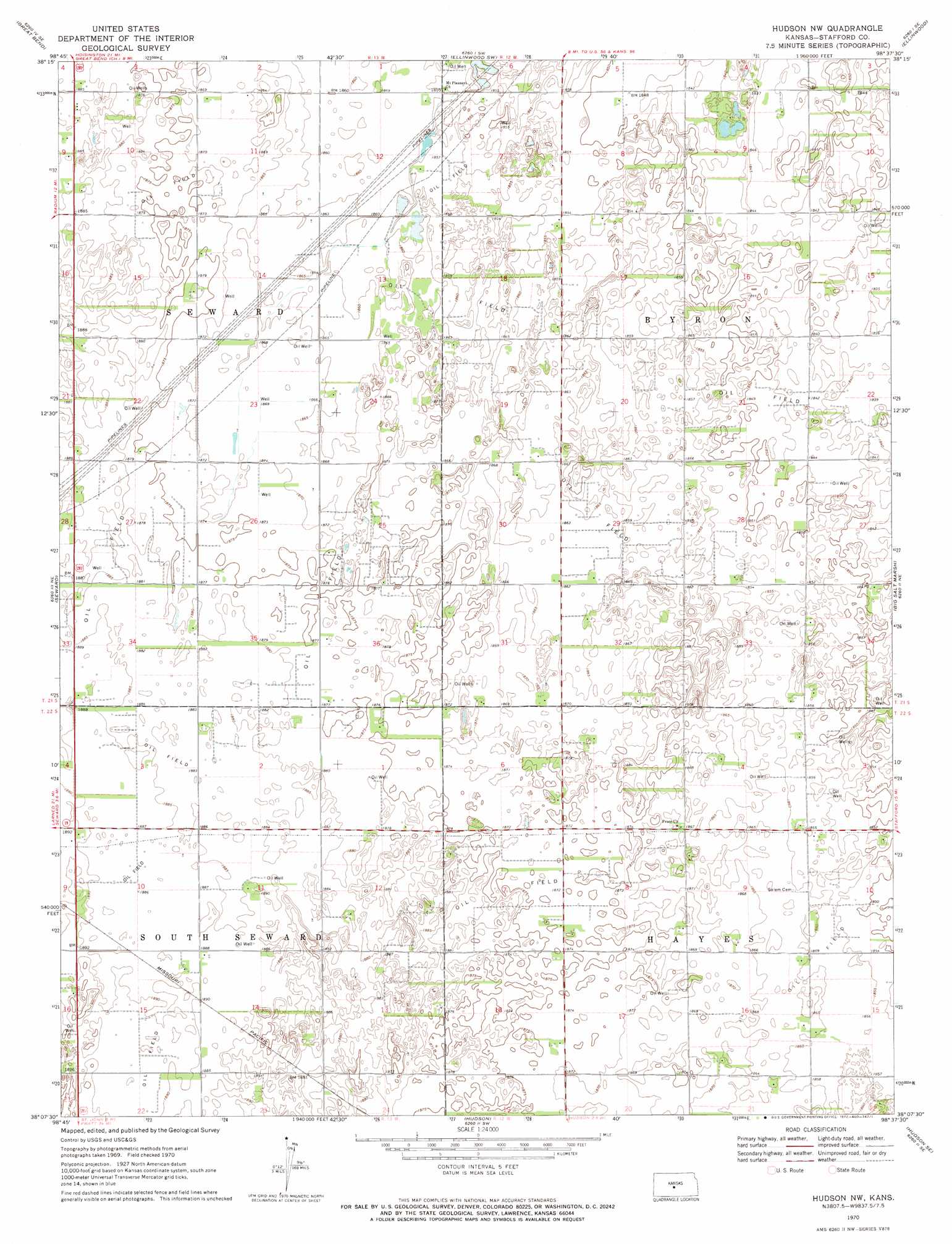
USGS Topo Quad 38098b6 - 1:24,000 scale
| Topo Map Name: | Hudson Nw |
| USGS Topo Quad ID: | 38098b6 |
| Print Size: | ca. 21 1/4" wide x 27" high |
| Southeast Coordinates: | 38.125° N latitude / 98.625° W longitude |
| Map Center Coordinates: | 38.1875° N latitude / 98.6875° W longitude |
| U.S. State: | KS |
| Filename: | o38098b6.jpg |
| Download Map JPG Image: | Hudson Nw topo map 1:24,000 scale |
| Map Type: | Topographic |
| Topo Series: | 7.5´ |
| Map Scale: | 1:24,000 |
| Source of Map Images: | United States Geological Survey (USGS) |
| Alternate Map Versions: |
Hudson NW KS 1970, updated 1972 Download PDF Buy paper map Hudson NW KS 2009 Download PDF Buy paper map Hudson NW KS 2012 Download PDF Buy paper map Hudson NW KS 2015 Download PDF Buy paper map |
1:24,000 Topo Quads surrounding Hudson Nw
Heizer |
Great Bend Ne |
Ellinwood Nw |
Ellinwood Ne |
Chase Nw |
Pawnee Rock |
Great Bend |
Ellinwood Sw |
Ellinwood |
Raymond |
Radium |
Seward |
Hudson Nw |
Big Salt Marsh |
Alden Nw |
Saint John Sw |
Saint John North |
Hudson |
Hudson Se |
Little Salt Marsh |
Macksville |
Saint John South |
Stafford Nw |
Stafford |
Sylvia |
> Back to 38098a1 at 1:100,000 scale
> Back to 38098a1 at 1:250,000 scale
> Back to U.S. Topo Maps home
No gazetteer data is available for the Hudson Nw topo map sheet.
Hudson Nw digital topo map on disk
Buy this Hudson Nw topo map showing relief, roads, GPS coordinates and other geographical features, as a high-resolution digital map file on DVD: