Beeler Sw Topo Map Kansas
To zoom in, hover over the map of Beeler Sw
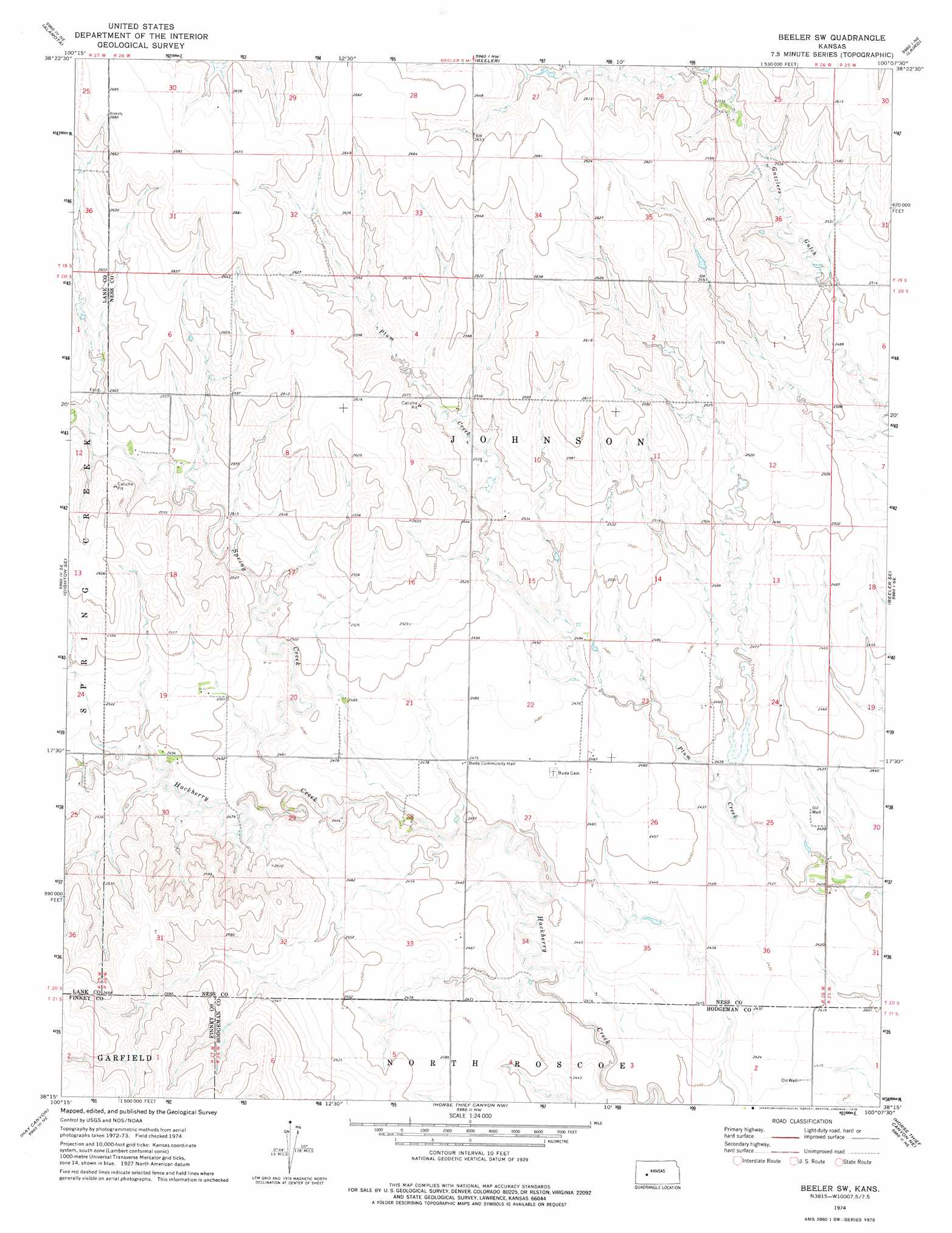
USGS Topo Quad 38100c2 - 1:24,000 scale
| Topo Map Name: | Beeler Sw |
| USGS Topo Quad ID: | 38100c2 |
| Print Size: | ca. 21 1/4" wide x 27" high |
| Southeast Coordinates: | 38.25° N latitude / 100.125° W longitude |
| Map Center Coordinates: | 38.3125° N latitude / 100.1875° W longitude |
| U.S. State: | KS |
| Filename: | o38100c2.jpg |
| Download Map JPG Image: | Beeler Sw topo map 1:24,000 scale |
| Map Type: | Topographic |
| Topo Series: | 7.5´ |
| Map Scale: | 1:24,000 |
| Source of Map Images: | United States Geological Survey (USGS) |
| Alternate Map Versions: |
Beeler SW KS 1974, updated 1976 Download PDF Buy paper map Beeler SW KS 2009 Download PDF Buy paper map Beeler SW KS 2012 Download PDF Buy paper map Beeler SW KS 2015 Download PDF Buy paper map |
1:24,000 Topo Quads surrounding Beeler Sw
Shields |
Shields Se |
Utica Sw |
Utica Se |
Ransom Sw |
Dighton |
Alamota |
Beeler |
Laird |
Ness City |
Dighton Sw |
Dighton Se |
Beeler Sw |
Beeler Se |
Ness City Sw |
Ravanna |
Hay Canyon |
Horse Thief Canyon Nw |
Horse Thief Canyon Ne |
Jetmore Nw |
Kalvesta Sw |
Kalvesta |
Horse Thief Canyon Sw |
Horse Thief Canyon |
Jetmore |
> Back to 38100a1 at 1:100,000 scale
> Back to 38100a1 at 1:250,000 scale
> Back to U.S. Topo Maps home
Beeler Sw digital topo map on disk
Buy this Beeler Sw topo map showing relief, roads, GPS coordinates and other geographical features, as a high-resolution digital map file on DVD: