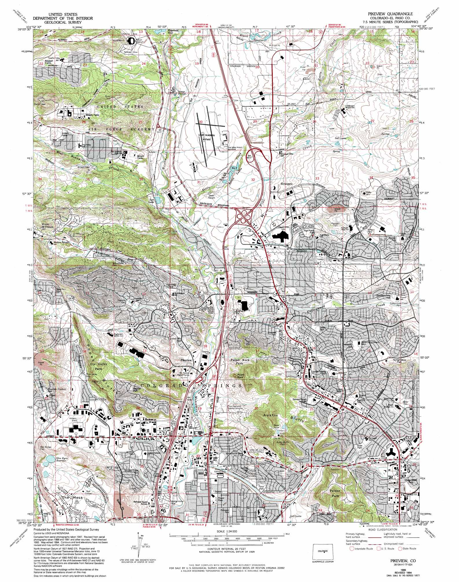
Pikeview Topo Map Colorado
To zoom in, hover over the map of Pikeview
USGS Topo Quad 38104h7 - 1:24,000 scale
| Topo Map Name: | Pikeview |
| USGS Topo Quad ID: | 38104h7 |
| Print Size: | ca. 21 1/4" wide x 27" high |
| Southeast Coordinates: | 38.875° N latitude / 104.75° W longitude |
| Map Center Coordinates: | 38.9375° N latitude / 104.8125° W longitude |
| U.S. State: | CO |
| Filename: | o38104h7.jpg |
| Download Map JPG Image: | Pikeview topo map 1:24,000 scale |
| Map Type: | Topographic |
| Topo Series: | 7.5´ |
| Map Scale: | 1:24,000 |
| Source of Map Images: | United States Geological Survey (USGS) |
| Alternate Map Versions: |
Pikeview CO 1948, updated 1957 Download PDF Buy paper map Pikeview CO 1949 Download PDF Buy paper map Pikeview CO 1949 Download PDF Buy paper map Pikeview CO 1961, updated 1963 Download PDF Buy paper map Pikeview CO 1961, updated 1969 Download PDF Buy paper map Pikeview CO 1961, updated 1970 Download PDF Buy paper map Pikeview CO 1961, updated 1970 Download PDF Buy paper map Pikeview CO 1961, updated 1978 Download PDF Buy paper map Pikeview CO 1986, updated 1986 Download PDF Buy paper map Pikeview CO 1986, updated 1994 Download PDF Buy paper map Pikeview CO 1986, updated 1994 Download PDF Buy paper map Pikeview CO 2010 Download PDF Buy paper map Pikeview CO 2013 Download PDF Buy paper map Pikeview CO 2016 Download PDF Buy paper map |
1:24,000 Topo Quads surrounding Pikeview
Dakan Mountain |
Larkspur |
Greenland |
Cherry Valley School |
Elbert |
Mount Deception |
Palmer Lake |
Monument |
Black Forest |
Eastonville |
Woodland Park |
Cascade |
Pikeview |
Falcon Nw |
Falcon |
Pikes Peak |
Manitou Springs |
Colorado Springs |
Elsmere |
Corral Bluffs |
Big Bull Mountain |
Mount Big Chief |
Cheyenne Mountain |
Fountain |
Fountain Ne |
> Back to 38104e1 at 1:100,000 scale
> Back to 38104a1 at 1:250,000 scale
> Back to U.S. Topo Maps home
Pikeview topo map: Gazetteer
Pikeview: Airports
Loral Aerospace Heliport elevation 2034m 6673′Penrose Community Hospital Heliport elevation 1955m 6414′
Pine Valley Airport elevation 1997m 6551′
United States Air Force Academy Airstrip elevation 1995m 6545′
Pikeview: Canals
Templeton Gap Floodway elevation 1895m 6217′Pikeview: Dams
Cononame 1 Dam elevation 2006m 6581′Glen Eyre Number 3 Dam elevation 2016m 6614′
Kettle Creek Diversion Dam elevation 2015m 6610′
Mesa Number 1 Dam elevation 1971m 6466′
Pikeview: Mines
Busy Bee Coal Mine elevation 1900m 6233′Carlton Mine elevation 1901m 6236′
Climax Number Two Mine elevation 1902m 6240′
Columbine Mine elevation 1982m 6502′
Corley Mine elevation 1957m 6420′
Curtis Mine elevation 1910m 6266′
Danville Mine elevation 1893m 6210′
Klondike Mine elevation 1904m 6246′
Knights of Industry Mine elevation 1982m 6502′
Last Chance Mine elevation 1934m 6345′
Monument Valley Mine elevation 2031m 6663′
Mountain View Mine elevation 1901m 6236′
Neer Mine elevation 1934m 6345′
New Altitude Coal Mine elevation 1920m 6299′
New Cottonwood Mine elevation 2002m 6568′
New Tudor Mine elevation 1916m 6286′
Oak Grove Mine elevation 2031m 6663′
Patterson Mine elevation 1895m 6217′
Rapson Mine elevation 1894m 6213′
Red Ash Mine elevation 1905m 6250′
Rose Hill Mine elevation 1901m 6236′
Williams Mine elevation 1908m 6259′
Williamsville Mine elevation 1906m 6253′
Pikeview: Parks
Falcon Stadium elevation 2024m 6640′Palmer Park elevation 1953m 6407′
Pikeview: Pillars
Pulpit Rock elevation 1991m 6532′Pikeview: Populated Places
Papeton elevation 1885m 6184′Pikeview elevation 1904m 6246′
Pikeview: Reservoirs
Glen Eyre Number 3 Reservoir elevation 2016m 6614′Glen Eyrie Reservoir elevation 2013m 6604′
Mesa Number 1 Reservoir elevation 1971m 6466′
Non Potable Reservoir 1 elevation 2006m 6581′
Pikeview: Ridges
Popes Bluffs elevation 2010m 6594′Pikeview: Streams
Black Squirrel Creek elevation 1976m 6482′Cottonwood Creek elevation 1901m 6236′
Douglas Creek elevation 1866m 6122′
Dry Creek elevation 1897m 6223′
Goat Camp Creek elevation 2007m 6584′
Kettle Creek elevation 1934m 6345′
Pine Creek elevation 1914m 6279′
West Monument Creek elevation 1936m 6351′
Pikeview: Summits
Austin Bluffs elevation 2034m 6673′Hunters Hill elevation 2006m 6581′
The Mesa elevation 2015m 6610′
Pikeview: Valleys
Woodmen Valley elevation 1973m 6473′Pikeview digital topo map on disk
Buy this Pikeview topo map showing relief, roads, GPS coordinates and other geographical features, as a high-resolution digital map file on DVD: