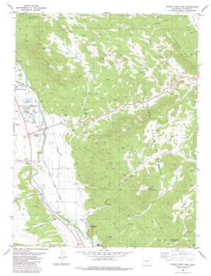
Buena Vista East Topo Map Colorado
To zoom in, hover over the map of Buena Vista East
USGS Topo Quad 38106g1 - 1:24,000 scale
| Topo Map Name: | Buena Vista East |
| USGS Topo Quad ID: | 38106g1 |
| Print Size: | ca. 21 1/4" wide x 27" high |
| Southeast Coordinates: | 38.75° N latitude / 106° W longitude |
| Map Center Coordinates: | 38.8125° N latitude / 106.0625° W longitude |
| U.S. State: | CO |
| Filename: | o38106g1.jpg |
| Download Map JPG Image: | Buena Vista East topo map 1:24,000 scale |
| Map Type: | Topographic |
| Topo Series: | 7.5´ |
| Map Scale: | 1:24,000 |
| Source of Map Images: | United States Geological Survey (USGS) |
| Alternate Map Versions: |
Buena Vista East CO 1983, updated 1983 Download PDF Buy paper map Buena Vista East CO 1983, updated 1983 Download PDF Buy paper map Buena Vista East CO 1994, updated 1998 Download PDF Buy paper map Buena Vista East CO 2011 Download PDF Buy paper map Buena Vista East CO 2013 Download PDF Buy paper map Buena Vista East CO 2016 Download PDF Buy paper map |
| FStopo: | US Forest Service topo Buena Vista East is available: Download FStopo PDF Download FStopo TIF |
1:24,000 Topo Quads surrounding Buena Vista East
> Back to 38106e1 at 1:100,000 scale
> Back to 38106a1 at 1:250,000 scale
> Back to U.S. Topo Maps home
Buena Vista East topo map: Gazetteer
Buena Vista East: Airports
Buena Vista Municipal Airport elevation 2419m 7936′Buena Vista East: Canals
Bray Ditch elevation 2379m 7805′Helena Ditch elevation 2382m 7814′
Trout Creek Ditch elevation 2391m 7844′
Buena Vista East: Falls
The Falls elevation 2430m 7972′Buena Vista East: Flats
Piles Pasture elevation 2695m 8841′Buena Vista East: Mines
Nellie Bly Mine elevation 2492m 8175′Triad Mine elevation 2652m 8700′
Buena Vista East: Populated Places
Johnson Village elevation 2393m 7851′Buena Vista East: Ridges
Limestone Ridge elevation 3009m 9872′Triad Ridge elevation 2911m 9550′
Buena Vista East: Springs
Lost Spring elevation 2652m 8700′Buena Vista East: Streams
Cottonwood Creek elevation 2402m 7880′Dry Creek elevation 2345m 7693′
Maxwell Creek elevation 2366m 7762′
Thompson Creek elevation 2352m 7716′
Trout Creek elevation 2393m 7851′
Buena Vista East: Summits
Bald Mountain elevation 2931m 9616′Midland Hill elevation 2902m 9520′
Sugarloaf Mountain elevation 2546m 8353′
Buena Vista East: Trails
Lenhardy Cutoff elevation 2892m 9488′Midland Bike Trail elevation 2880m 9448′
Buena Vista East: Valleys
Arnold Gulch elevation 2370m 7775′Bald Mountain Gulch elevation 2332m 7650′
Big Sandy Draw elevation 2445m 8021′
Chinaman Gulch elevation 2424m 7952′
Coal Kiln Gulch elevation 2342m 7683′
McGee Gulch elevation 2646m 8681′
Shields Gulch elevation 2614m 8576′
Tie Gulch elevation 2424m 7952′
Buena Vista East digital topo map on disk
Buy this Buena Vista East topo map showing relief, roads, GPS coordinates and other geographical features, as a high-resolution digital map file on DVD:


