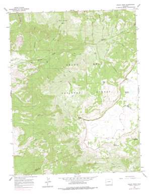
Indian Point Topo Map Colorado
To zoom in, hover over the map of Indian Point
USGS Topo Quad 38108h2 - 1:24,000 scale
| Topo Map Name: | Indian Point |
| USGS Topo Quad ID: | 38108h2 |
| Print Size: | ca. 21 1/4" wide x 27" high |
| Southeast Coordinates: | 38.875° N latitude / 108.125° W longitude |
| Map Center Coordinates: | 38.9375° N latitude / 108.1875° W longitude |
| U.S. State: | CO |
| Filename: | o38108h2.jpg |
| Download Map JPG Image: | Indian Point topo map 1:24,000 scale |
| Map Type: | Topographic |
| Topo Series: | 7.5´ |
| Map Scale: | 1:24,000 |
| Source of Map Images: | United States Geological Survey (USGS) |
| Alternate Map Versions: |
Indian Point CO 1965, updated 1968 Download PDF Buy paper map Indian Point CO 1965, updated 1968 Download PDF Buy paper map Indian Point CO 1965, updated 1978 Download PDF Buy paper map Indian Point CO 2011 Download PDF Buy paper map Indian Point CO 2013 Download PDF Buy paper map Indian Point CO 2016 Download PDF Buy paper map |
| FStopo: | US Forest Service topo Indian Point is available: Download FStopo PDF Download FStopo TIF |
1:24,000 Topo Quads surrounding Indian Point
> Back to 38108e1 at 1:100,000 scale
> Back to 38108a1 at 1:250,000 scale
> Back to U.S. Topo Maps home
Indian Point topo map: Gazetteer
Indian Point: Basins
Alkali Basin elevation 2737m 8979′Coal Creek Basin elevation 2517m 8257′
Indian Point: Cliffs
Indian Point elevation 3019m 9904′Point Peninsula elevation 3056m 10026′
Indian Point: Dams
Chambers Dam elevation 3063m 10049′Indian Point: Lakes
Blue Lake elevation 2743m 8999′Indian Point: Reservoirs
Chambers Reservoir elevation 3063m 10049′Doughspoon Reservoir elevation 2857m 9373′
Indian Point: Streams
Cheever Creek elevation 2246m 7368′Coal Creek elevation 2188m 7178′
Cottonwood Creek elevation 2320m 7611′
Deep Creek elevation 2481m 8139′
East Two Creek elevation 2049m 6722′
Gill Creek elevation 2307m 7568′
Reservoir Creek elevation 2766m 9074′
Service Creek elevation 2113m 6932′
Sheep Creek elevation 2459m 8067′
Shirtail Creek elevation 1853m 6079′
Skunk Creek elevation 2384m 7821′
Two Creek elevation 1958m 6423′
West Two Creek elevation 2049m 6722′
Indian Point: Trails
Coal Creek Trail elevation 2767m 9078′Indian Point Trail elevation 2685m 8809′
Spring Camp Trail elevation 2306m 7565′
Indian Point digital topo map on disk
Buy this Indian Point topo map showing relief, roads, GPS coordinates and other geographical features, as a high-resolution digital map file on DVD:


