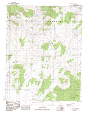
Dry Willow Peak Topo Map Utah
To zoom in, hover over the map of Dry Willow Peak
USGS Topo Quad 38112a8 - 1:24,000 scale
| Topo Map Name: | Dry Willow Peak |
| USGS Topo Quad ID: | 38112a8 |
| Print Size: | ca. 21 1/4" wide x 27" high |
| Southeast Coordinates: | 38° N latitude / 112.875° W longitude |
| Map Center Coordinates: | 38.0625° N latitude / 112.9375° W longitude |
| U.S. State: | UT |
| Filename: | o38112a8.jpg |
| Download Map JPG Image: | Dry Willow Peak topo map 1:24,000 scale |
| Map Type: | Topographic |
| Topo Series: | 7.5´ |
| Map Scale: | 1:24,000 |
| Source of Map Images: | United States Geological Survey (USGS) |
| Alternate Map Versions: |
Dry Willow Peak UT 1989, updated 1989 Download PDF Buy paper map Dry Willow Peak UT 2010 Download PDF Buy paper map Dry Willow Peak UT 2014 Download PDF Buy paper map |
1:24,000 Topo Quads surrounding Dry Willow Peak
> Back to 38112a1 at 1:100,000 scale
> Back to 38112a1 at 1:250,000 scale
> Back to U.S. Topo Maps home
Dry Willow Peak topo map: Gazetteer
Dry Willow Peak: Lakes
Burnt Spot Pond elevation 1901m 6236′Cedar Pond elevation 2095m 6873′
Coyote Pond elevation 1985m 6512′
District Pond elevation 1979m 6492′
Penney Hollow Pond elevation 1836m 6023′
Tebbs Pond elevation 1949m 6394′
Dry Willow Peak: Ranges
Black Mountains elevation 2051m 6729′Dry Willow Peak: Summits
Dry Willow Peak elevation 2288m 7506′Dry Willow Peak: Valleys
Penney Hollow elevation 1854m 6082′Dry Willow Peak digital topo map on disk
Buy this Dry Willow Peak topo map showing relief, roads, GPS coordinates and other geographical features, as a high-resolution digital map file on DVD:


