Red Tops Topo Map Utah
To zoom in, hover over the map of Red Tops
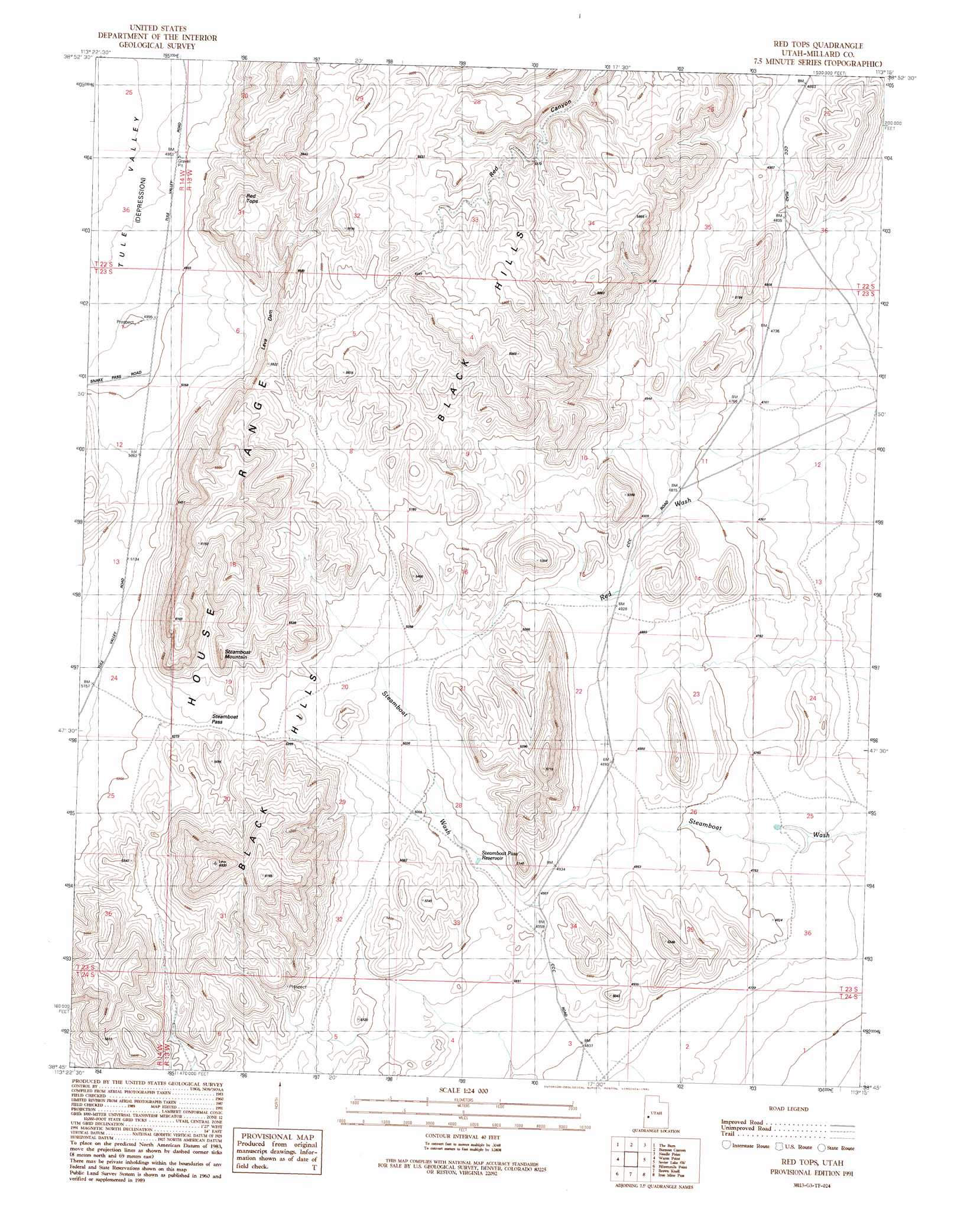
USGS Topo Quad 38113g3 - 1:24,000 scale
| Topo Map Name: | Red Tops |
| USGS Topo Quad ID: | 38113g3 |
| Print Size: | ca. 21 1/4" wide x 27" high |
| Southeast Coordinates: | 38.75° N latitude / 113.25° W longitude |
| Map Center Coordinates: | 38.8125° N latitude / 113.3125° W longitude |
| U.S. State: | UT |
| Filename: | o38113g3.jpg |
| Download Map JPG Image: | Red Tops topo map 1:24,000 scale |
| Map Type: | Topographic |
| Topo Series: | 7.5´ |
| Map Scale: | 1:24,000 |
| Source of Map Images: | United States Geological Survey (USGS) |
| Alternate Map Versions: |
Red Tops UT 1991, updated 1991 Download PDF Buy paper map Red Tops UT 2010 Download PDF Buy paper map Red Tops UT 2014 Download PDF Buy paper map |
1:24,000 Topo Quads surrounding Red Tops
Bullgrass Knoll |
Hell'N Maria Canyon |
Skull Rock Pass |
Long Ridge Sw |
Long Ridge Se |
King Top |
The Barn |
Burnout Canyon |
Needle Point |
Sevier Lake Ne |
Crystal Peak |
Warm Point |
Red Tops |
Sevier Lake Sw |
Headlight Mountain |
Grassy Cove |
Fifteenmile Point |
Brown Knoll |
Iron Mine Pass |
Red Rock Knoll |
Wah Wah Summit |
Wah Wah Cove |
Frisco Peak |
High Rock |
Lime Mountain |
> Back to 38113e1 at 1:100,000 scale
> Back to 38112a1 at 1:250,000 scale
> Back to U.S. Topo Maps home
Red Tops topo map: Gazetteer
Red Tops: Cliffs
Lava Dam elevation 1663m 5456′Red Tops: Gaps
Steamboat Pass elevation 1609m 5278′Red Tops: Lakes
Johnson Pond elevation 1408m 4619′Red Tops: Ranges
Black Hills elevation 1726m 5662′Red Tops: Reservoirs
Steamboat Pass Reservoir elevation 1511m 4957′Red Tops: Summits
Red Tops elevation 1719m 5639′Steamboat Mountain elevation 1769m 5803′
Red Tops digital topo map on disk
Buy this Red Tops topo map showing relief, roads, GPS coordinates and other geographical features, as a high-resolution digital map file on DVD: