Bradshaw Spring Topo Map Nevada
To zoom in, hover over the map of Bradshaw Spring
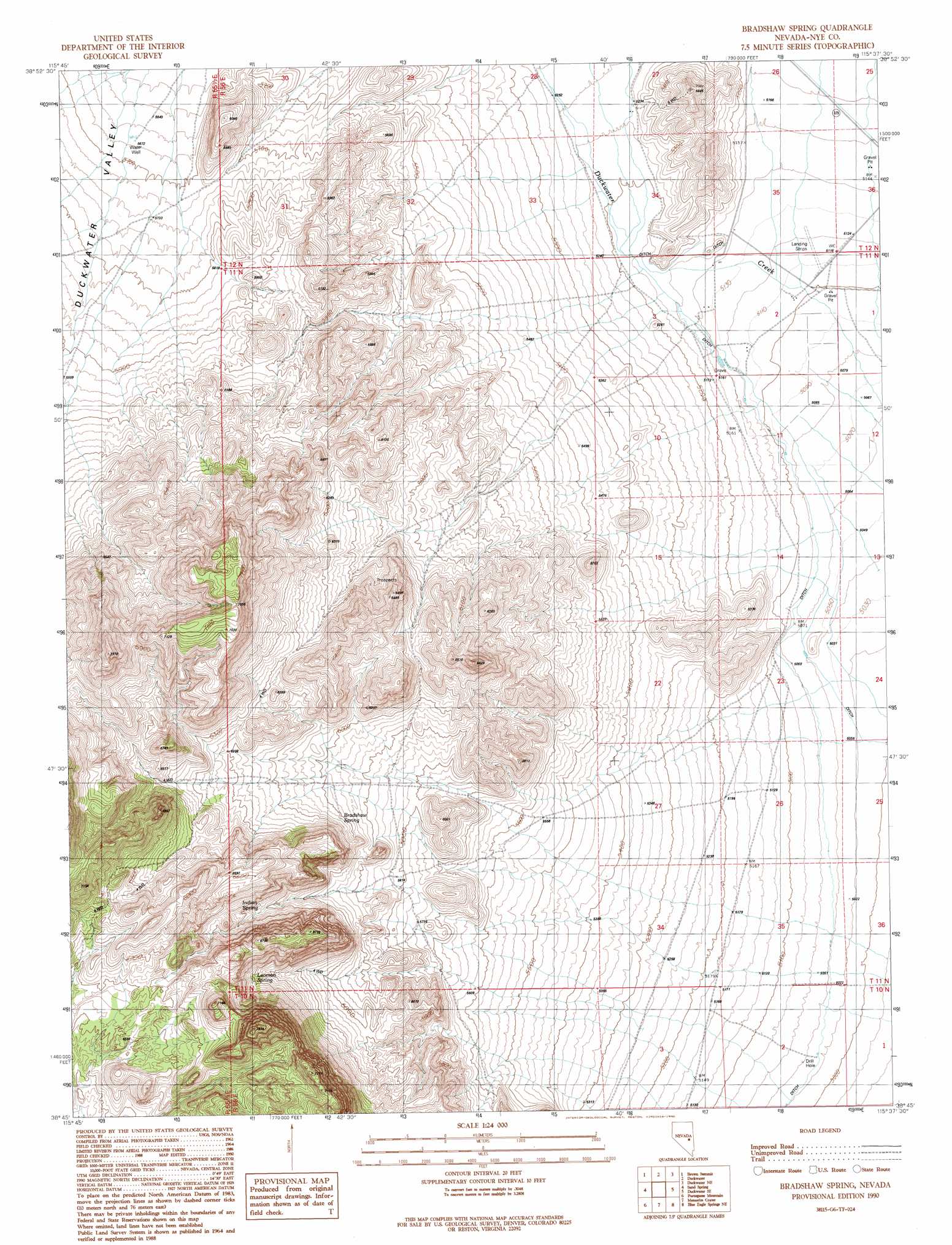
USGS Topo Quad 38115g6 - 1:24,000 scale
| Topo Map Name: | Bradshaw Spring |
| USGS Topo Quad ID: | 38115g6 |
| Print Size: | ca. 21 1/4" wide x 27" high |
| Southeast Coordinates: | 38.75° N latitude / 115.625° W longitude |
| Map Center Coordinates: | 38.8125° N latitude / 115.6875° W longitude |
| U.S. State: | NV |
| Filename: | o38115g6.jpg |
| Download Map JPG Image: | Bradshaw Spring topo map 1:24,000 scale |
| Map Type: | Topographic |
| Topo Series: | 7.5´ |
| Map Scale: | 1:24,000 |
| Source of Map Images: | United States Geological Survey (USGS) |
| Alternate Map Versions: |
Bradshaw Spring NV 1990, updated 1990 Download PDF Buy paper map Bradshaw Spring NV 2012 Download PDF Buy paper map Bradshaw Spring NV 2014 Download PDF Buy paper map |
1:24,000 Topo Quads surrounding Bradshaw Spring
Moody Peak |
Bull Fork |
Green Springs Sw |
Green Springs |
Indian Garden Mountain |
Brown Summit Nw |
Brown Summit |
Duckwater |
Duckwater Ne |
Currant Mountain |
Brown Summit Sw |
Sand Spring |
Bradshaw Spring |
Duckwater Se |
White Pine Peak |
Portuguese Mountain Nw |
Portuguese Mountain |
Meteorite Crater |
Blue Eagle Springs Ne |
Currant |
Black Rock Summit |
Lockes |
Blue Eagle Springs Sw |
Blue Eagle Springs |
Blue Eagle Mountain |
> Back to 38115e1 at 1:100,000 scale
> Back to 38114a1 at 1:250,000 scale
> Back to U.S. Topo Maps home
Bradshaw Spring topo map: Gazetteer
Bradshaw Spring: Airports
Duckwater Airport elevation 1560m 5118′Bradshaw Spring: Springs
Bradshaw Spring elevation 1837m 6026′Indian Spring elevation 1894m 6213′
Leoman Spring elevation 1919m 6295′
Bradshaw Spring digital topo map on disk
Buy this Bradshaw Spring topo map showing relief, roads, GPS coordinates and other geographical features, as a high-resolution digital map file on DVD: