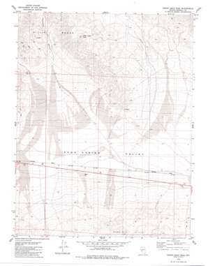
Indian Head Peak Topo Map Nevada
To zoom in, hover over the map of Indian Head Peak
USGS Topo Quad 38118e3 - 1:24,000 scale
| Topo Map Name: | Indian Head Peak |
| USGS Topo Quad ID: | 38118e3 |
| Print Size: | ca. 21 1/4" wide x 27" high |
| Southeast Coordinates: | 38.5° N latitude / 118.25° W longitude |
| Map Center Coordinates: | 38.5625° N latitude / 118.3125° W longitude |
| U.S. State: | NV |
| Filename: | o38118e3.jpg |
| Download Map JPG Image: | Indian Head Peak topo map 1:24,000 scale |
| Map Type: | Topographic |
| Topo Series: | 7.5´ |
| Map Scale: | 1:24,000 |
| Source of Map Images: | United States Geological Survey (USGS) |
| Alternate Map Versions: |
Indian Head Peak NV 1979, updated 1980 Download PDF Buy paper map Indian Head Peak NV 2011 Download PDF Buy paper map Indian Head Peak NV 2014 Download PDF Buy paper map |
1:24,000 Topo Quads surrounding Indian Head Peak
> Back to 38118e1 at 1:100,000 scale
> Back to 38118a1 at 1:250,000 scale
> Back to U.S. Topo Maps home
Indian Head Peak topo map: Gazetteer
Indian Head Peak: Mines
Holiday Uranium Mine elevation 1492m 4895′Silver King Mine elevation 1568m 5144′
Indian Head Peak: Populated Places
Acme (historical) elevation 1353m 4438′Copperfield (historical) elevation 1602m 5255′
Indian Head Peak: Post Offices
Copperfield Post Office (historical) elevation 1602m 5255′Indian Head Peak: Reservoirs
Acme Tank (historical) elevation 1341m 4399′Indian Head Peak: Summits
Indian Head Peak elevation 2204m 7230′Indian Head Peak: Valleys
Blackrock Gulch elevation 1535m 5036′Paymaster Canyon elevation 1578m 5177′
Indian Head Peak digital topo map on disk
Buy this Indian Head Peak topo map showing relief, roads, GPS coordinates and other geographical features, as a high-resolution digital map file on DVD:


