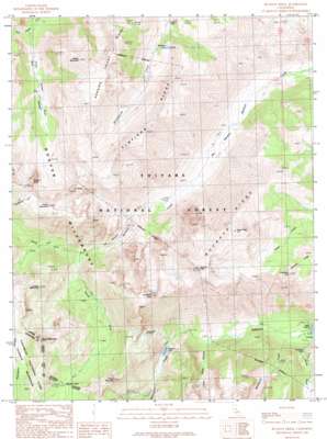
Buckeye Ridge Topo Map California
To zoom in, hover over the map of Buckeye Ridge
USGS Topo Quad 38119b4 - 1:24,000 scale
| Topo Map Name: | Buckeye Ridge |
| USGS Topo Quad ID: | 38119b4 |
| Print Size: | ca. 21 1/4" wide x 27" high |
| Southeast Coordinates: | 38.125° N latitude / 119.375° W longitude |
| Map Center Coordinates: | 38.1875° N latitude / 119.4375° W longitude |
| U.S. State: | CA |
| Filename: | o38119b4.jpg |
| Download Map JPG Image: | Buckeye Ridge topo map 1:24,000 scale |
| Map Type: | Topographic |
| Topo Series: | 7.5´ |
| Map Scale: | 1:24,000 |
| Source of Map Images: | United States Geological Survey (USGS) |
| Alternate Map Versions: |
Buckeye Ridge CA 1990, updated 1990 Download PDF Buy paper map Buckeye Ridge CA 1990, updated 1990 Download PDF Buy paper map Buckeye Ridge CA 2012 Download PDF Buy paper map Buckeye Ridge CA 2015 Download PDF Buy paper map |
| FStopo: | US Forest Service topo Buckeye Ridge is available: Download FStopo PDF Download FStopo TIF |
1:24,000 Topo Quads surrounding Buckeye Ridge
> Back to 38119a1 at 1:100,000 scale
> Back to 38118a1 at 1:250,000 scale
> Back to U.S. Topo Maps home
Buckeye Ridge topo map: Gazetteer
Buckeye Ridge: Falls
Horsetail Falls elevation 2338m 7670′Buckeye Ridge: Flats
Big Meadow elevation 2328m 7637′Buckeye Ridge: Gaps
Buckeye Pass elevation 2923m 9589′Buckeye Ridge: Lakes
Barney Lake elevation 2519m 8264′Little Lake elevation 2947m 9668′
McMillan Lake elevation 2835m 9301′
Buckeye Ridge: Pillars
Ink Rocks elevation 3352m 10997′Buckeye Ridge: Populated Places
Mono Village (historical) elevation 2177m 7142′Buckeye Ridge: Rapids
The Roughs elevation 2513m 8244′Buckeye Ridge: Ridges
Buckeye Ridge elevation 3392m 11128′Flatiron Ridge elevation 3280m 10761′
Hanging Valley Ridge elevation 3429m 11250′
Buckeye Ridge: Streams
Blacksmith Creek elevation 2173m 7129′Horse Creek elevation 2167m 7109′
North Fork Buckeye Creek elevation 2566m 8418′
South Fork Buckeye Creek elevation 2566m 8418′
Buckeye Ridge: Summits
Center Mountain elevation 3410m 11187′Cirque Mountain elevation 3217m 10554′
Eagle Peak elevation 3603m 11820′
Flatiron Butte elevation 3453m 11328′
Grouse Mountain elevation 3271m 10731′
Hanna Mountain elevation 3491m 11453′
Hunewill Peak elevation 3562m 11686′
Robinson Peak elevation 3274m 10741′
Victoria Peak elevation 3561m 11683′
Walker Mountain elevation 3515m 11532′
Buckeye Ridge: Valleys
Little Slide Canyon elevation 2327m 7634′Piute Canyon elevation 2713m 8900′
Buckeye Ridge digital topo map on disk
Buy this Buckeye Ridge topo map showing relief, roads, GPS coordinates and other geographical features, as a high-resolution digital map file on DVD:


