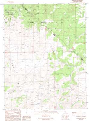
Dome Hill Topo Map California
To zoom in, hover over the map of Dome Hill
USGS Topo Quad 38119c1 - 1:24,000 scale
| Topo Map Name: | Dome Hill |
| USGS Topo Quad ID: | 38119c1 |
| Print Size: | ca. 21 1/4" wide x 27" high |
| Southeast Coordinates: | 38.25° N latitude / 119° W longitude |
| Map Center Coordinates: | 38.3125° N latitude / 119.0625° W longitude |
| U.S. States: | CA, NV |
| Filename: | o38119c1.jpg |
| Download Map JPG Image: | Dome Hill topo map 1:24,000 scale |
| Map Type: | Topographic |
| Topo Series: | 7.5´ |
| Map Scale: | 1:24,000 |
| Source of Map Images: | United States Geological Survey (USGS) |
| Alternate Map Versions: |
Dome Hill CA 1989, updated 1989 Download PDF Buy paper map Dome Hill CA 1989, updated 1989 Download PDF Buy paper map Dome Hill CA 2012 Download PDF Buy paper map Dome Hill CA 2015 Download PDF Buy paper map |
| FStopo: | US Forest Service topo Dome Hill is available: Download FStopo PDF Download FStopo TIF |
1:24,000 Topo Quads surrounding Dome Hill
> Back to 38119a1 at 1:100,000 scale
> Back to 38118a1 at 1:250,000 scale
> Back to U.S. Topo Maps home
Dome Hill topo map: Gazetteer
Dome Hill: Forests
Bridgeport Ranger District elevation 2383m 7818′Dome Hill: Lakes
Dry Lake elevation 2521m 8270′Dome Hill: Mines
Hefler Tungsten Mine elevation 2137m 7011′Homestead Mine elevation 2143m 7030′
Maybell Mine elevation 2256m 7401′
Mellor Mine elevation 2318m 7604′
Paramount Mine elevation 2627m 8618′
Perrini Mine elevation 2291m 7516′
Pittsburg Liberty Mine elevation 2342m 7683′
Dome Hill: Populated Places
Lower Town elevation 2328m 7637′Upper Town elevation 2457m 8061′
Dome Hill: Ranges
Bodie Hills elevation 2871m 9419′Dome Hill: Springs
Burnt Hill Spring elevation 2285m 7496′Masonic Spring elevation 2543m 8343′
Dome Hill: Streams
Atastra Creek elevation 2332m 7650′Dome Hill: Summits
Dome Hill elevation 2445m 8021′Dome Hill elevation 2467m 8093′
Dome Hill digital topo map on disk
Buy this Dome Hill topo map showing relief, roads, GPS coordinates and other geographical features, as a high-resolution digital map file on DVD:


