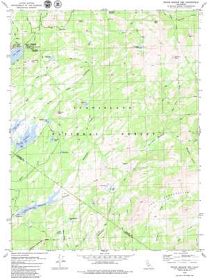
Spicer Meadow Res Topo Map California
To zoom in, hover over the map of Spicer Meadow Res
USGS Topo Quad 38119d8 - 1:24,000 scale
| Topo Map Name: | Spicer Meadow Res |
| USGS Topo Quad ID: | 38119d8 |
| Print Size: | ca. 21 1/4" wide x 27" high |
| Southeast Coordinates: | 38.375° N latitude / 119.875° W longitude |
| Map Center Coordinates: | 38.4375° N latitude / 119.9375° W longitude |
| U.S. State: | CA |
| Filename: | o38119d8.jpg |
| Download Map JPG Image: | Spicer Meadow Res topo map 1:24,000 scale |
| Map Type: | Topographic |
| Topo Series: | 7.5´ |
| Map Scale: | 1:24,000 |
| Source of Map Images: | United States Geological Survey (USGS) |
| Alternate Map Versions: |
Spicer Meadow Res. CA 1979, updated 1980 Download PDF Buy paper map Spicer Meadow Res. CA 1979, updated 1984 Download PDF Buy paper map Spicer Meadow Res CA 1979, updated 1984 Download PDF Buy paper map Spicer Meadow Reservoir CA 2001, updated 2004 Download PDF Buy paper map Spicer Meadow Reservoir CA 2012 Download PDF Buy paper map Spicer Meadow Reservoir CA 2015 Download PDF Buy paper map |
| FStopo: | US Forest Service topo Spicer Meadow Reservoir is available: Download FStopo PDF Download FStopo TIF |
1:24,000 Topo Quads surrounding Spicer Meadow Res
> Back to 38119a1 at 1:100,000 scale
> Back to 38118a1 at 1:250,000 scale
> Back to U.S. Topo Maps home
Spicer Meadow Res topo map: Gazetteer
Spicer Meadow Res: Dams
Spicers Meadow 99-004 Dam elevation 1961m 6433′Union 99-005 Dam elevation 2089m 6853′
Spicer Meadow Res: Flats
Gabbott Meadow elevation 1996m 6548′Twin Meadows elevation 2070m 6791′
Spicer Meadow Res: Lakes
Bull Run Lake elevation 2543m 8343′Duck Lake elevation 2193m 7194′
Elephant Rock Lake elevation 2116m 6942′
Heiser Lake elevation 2545m 8349′
Lost Lake elevation 2109m 6919′
Mud Lake elevation 2122m 6961′
Rock Lake elevation 2232m 7322′
Summit Lake elevation 2159m 7083′
Sword Lake elevation 2091m 6860′
Twin Meadows Lake elevation 2060m 6758′
Spicer Meadow Res: Populated Places
Cape Horn elevation 2440m 8005′Spicer Meadow Res: Reservoirs
Spicer Meadow Reservoir elevation 1961m 6433′Union Reservoir elevation 2089m 6853′
Spicer Meadow Res: Streams
Bull Run Creek elevation 2000m 6561′Hobart Creek elevation 1970m 6463′
Wilderness Creek elevation 1962m 6437′
Spicer Meadow Res: Summits
Bull Run Peak elevation 2893m 9491′Bull Run Peak elevation 2895m 9498′
Elephant Rock elevation 2231m 7319′
Henry Peak elevation 2843m 9327′
Inspiration Point elevation 2415m 7923′
Spicer Meadow Res: Valleys
Bee Gulch elevation 2230m 7316′Jenkins Canyon elevation 2098m 6883′
Marshall Canyon elevation 2374m 7788′
Slaughter Canyon elevation 2096m 6876′
Spicer Meadow Res digital topo map on disk
Buy this Spicer Meadow Res topo map showing relief, roads, GPS coordinates and other geographical features, as a high-resolution digital map file on DVD:


