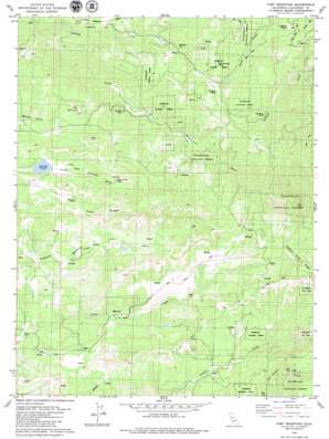
Fort Mountain Topo Map California
To zoom in, hover over the map of Fort Mountain
USGS Topo Quad 38120c4 - 1:24,000 scale
| Topo Map Name: | Fort Mountain |
| USGS Topo Quad ID: | 38120c4 |
| Print Size: | ca. 21 1/4" wide x 27" high |
| Southeast Coordinates: | 38.25° N latitude / 120.375° W longitude |
| Map Center Coordinates: | 38.3125° N latitude / 120.4375° W longitude |
| U.S. State: | CA |
| Filename: | o38120c4.jpg |
| Download Map JPG Image: | Fort Mountain topo map 1:24,000 scale |
| Map Type: | Topographic |
| Topo Series: | 7.5´ |
| Map Scale: | 1:24,000 |
| Source of Map Images: | United States Geological Survey (USGS) |
| Alternate Map Versions: |
Fort Mountain CA 2001, updated 2004 Download PDF Buy paper map Fort Mountain CA 2012 Download PDF Buy paper map Fort Mountain CA 2015 Download PDF Buy paper map |
| FStopo: | US Forest Service topo Fort Mountain is available: Download FStopo PDF Download FStopo TIF |
1:24,000 Topo Quads surrounding Fort Mountain
> Back to 38120a1 at 1:100,000 scale
> Back to 38120a1 at 1:250,000 scale
> Back to U.S. Topo Maps home
Fort Mountain topo map: Gazetteer
Fort Mountain: Airports
Fort Mountain Ranch Number 2 Airport elevation 901m 2956′Fort Mountain: Dams
Bingham 82 Dam elevation 842m 2762′Reid 1492 Dam elevation 849m 2785′
Fort Mountain: Flats
Creightons Meadow elevation 1188m 3897′Fort Mountain: Mines
Black Wonder Mine elevation 1010m 3313′Father and Son Mine elevation 939m 3080′
Fine Gold Mine elevation 796m 2611′
Gold King Mine elevation 1033m 3389′
Hackerdam Mine elevation 1132m 3713′
Fort Mountain: Populated Places
Fort Jones elevation 894m 2933′Fuchs elevation 752m 2467′
Hams elevation 907m 2975′
Sandoz elevation 991m 3251′
Fort Mountain: Reservoirs
Redhawk Lake elevation 842m 2762′Fort Mountain: Ridges
Pine Ridge elevation 1046m 3431′Fort Mountain: Streams
Dutch Creek elevation 933m 3061′Kaye Creek elevation 801m 2627′
Fort Mountain: Summits
Fort Mountain elevation 999m 3277′Fort Mountain: Valleys
Esperanza Valley elevation 769m 2522′Fort Mountain digital topo map on disk
Buy this Fort Mountain topo map showing relief, roads, GPS coordinates and other geographical features, as a high-resolution digital map file on DVD:


