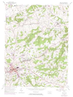
Red Lion Topo Map Pennsylvania
To zoom in, hover over the map of Red Lion
USGS Topo Quad 39076h5 - 1:24,000 scale
| Topo Map Name: | Red Lion |
| USGS Topo Quad ID: | 39076h5 |
| Print Size: | ca. 21 1/4" wide x 27" high |
| Southeast Coordinates: | 39.875° N latitude / 76.5° W longitude |
| Map Center Coordinates: | 39.9375° N latitude / 76.5625° W longitude |
| U.S. State: | PA |
| Filename: | o39076h5.jpg |
| Download Map JPG Image: | Red Lion topo map 1:24,000 scale |
| Map Type: | Topographic |
| Topo Series: | 7.5´ |
| Map Scale: | 1:24,000 |
| Source of Map Images: | United States Geological Survey (USGS) |
| Alternate Map Versions: |
Red Lion PA 1953, updated 1956 Download PDF Buy paper map Red Lion PA 1953, updated 1966 Download PDF Buy paper map Red Lion PA 1953, updated 1969 Download PDF Buy paper map Red Lion PA 1953, updated 1974 Download PDF Buy paper map Red Lion PA 1953, updated 1975 Download PDF Buy paper map Red Lion PA 1999, updated 2002 Download PDF Buy paper map Red Lion PA 2010 Download PDF Buy paper map Red Lion PA 2013 Download PDF Buy paper map Red Lion PA 2016 Download PDF Buy paper map |
1:24,000 Topo Quads surrounding Red Lion
> Back to 39076e1 at 1:100,000 scale
> Back to 39076a1 at 1:250,000 scale
> Back to U.S. Topo Maps home
Red Lion topo map: Gazetteer
Red Lion: Airports
D Evans Farm Airport elevation 107m 351′Warners Airport elevation 234m 767′
Red Lion: Dams
Cabin Creek Dam elevation 185m 606′Red Lion: Parks
Fairmount Park elevation 255m 836′Red Lion Stadium elevation 273m 895′
Samuel S Lewis State Park elevation 210m 688′
Red Lion: Populated Places
Adamsville elevation 202m 662′Arbor elevation 204m 669′
Bittersville elevation 171m 561′
Brigadoon elevation 119m 390′
Craley elevation 193m 633′
Crestwood East elevation 122m 400′
Delroy elevation 172m 564′
East Prospect elevation 142m 465′
Forest Hills elevation 262m 859′
Freysville elevation 235m 770′
Greystone Farms elevation 138m 452′
Grimms Crossroads elevation 232m 761′
Holtz elevation 230m 754′
Kendale East elevation 274m 898′
Keys elevation 253m 830′
Leiphart Mill elevation 117m 383′
Locust Spring elevation 211m 692′
Margaretta Furnace elevation 112m 367′
Martinsville elevation 189m 620′
Orchard Hill elevation 199m 652′
Panorama Hills elevation 183m 600′
Petersburg elevation 258m 846′
Pleasant View elevation 270m 885′
Red Lion elevation 280m 918′
Richmond elevation 171m 561′
Rockey elevation 185m 606′
Snyder Corner elevation 217m 711′
Springvale elevation 228m 748′
Sylvan Hills elevation 199m 652′
Windsor elevation 208m 682′
Yorkana elevation 192m 629′
Red Lion: Reservoirs
Cabin Creek Reservoir elevation 185m 606′East Prospect Reservoir elevation 169m 554′
Red Lion Reservoir elevation 178m 583′
Red Lion: Streams
Beaver Creek elevation 123m 403′Cook Creek elevation 163m 534′
Red Lion: Summits
Mount Pisgah elevation 256m 839′Red Lion digital topo map on disk
Buy this Red Lion topo map showing relief, roads, GPS coordinates and other geographical features, as a high-resolution digital map file on DVD:
Atlantic Coast (NY, NJ, PA, DE, MD, VA, NC)
Buy digital topo maps: Atlantic Coast (NY, NJ, PA, DE, MD, VA, NC)


