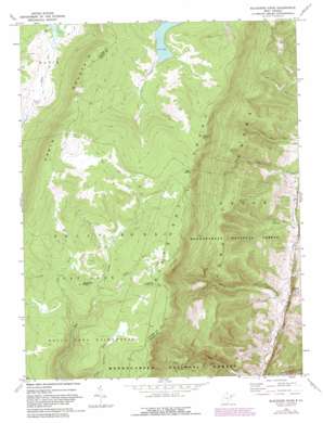
Blackbird Knob Topo Map West Virginia
To zoom in, hover over the map of Blackbird Knob
USGS Topo Quad 39079a3 - 1:24,000 scale
| Topo Map Name: | Blackbird Knob |
| USGS Topo Quad ID: | 39079a3 |
| Print Size: | ca. 21 1/4" wide x 27" high |
| Southeast Coordinates: | 39° N latitude / 79.25° W longitude |
| Map Center Coordinates: | 39.0625° N latitude / 79.3125° W longitude |
| U.S. State: | WV |
| Filename: | o39079a3.jpg |
| Download Map JPG Image: | Blackbird Knob topo map 1:24,000 scale |
| Map Type: | Topographic |
| Topo Series: | 7.5´ |
| Map Scale: | 1:24,000 |
| Source of Map Images: | United States Geological Survey (USGS) |
| Alternate Map Versions: |
Blackbird Knob WV 1967, updated 1972 Download PDF Buy paper map Blackbird Knob WV 1967, updated 1975 Download PDF Buy paper map Blackbird Knob WV 1967, updated 1982 Download PDF Buy paper map Blackbird Knob WV 1995, updated 1998 Download PDF Buy paper map Blackbird Knob WV 2011 Download PDF Buy paper map Blackbird Knob WV 2014 Download PDF Buy paper map Blackbird Knob WV 2016 Download PDF Buy paper map |
| FStopo: | US Forest Service topo Blackbird Knob is available: Download FStopo PDF Download FStopo TIF |
1:24,000 Topo Quads surrounding Blackbird Knob
> Back to 39079a1 at 1:100,000 scale
> Back to 39078a1 at 1:250,000 scale
> Back to U.S. Topo Maps home
Blackbird Knob topo map: Gazetteer
Blackbird Knob: Flats
Dolly Sods elevation 1169m 3835′Blackbird Knob: Pillars
Bear Rocks elevation 1219m 3999′Stack Rock elevation 1185m 3887′
Blackbird Knob: Populated Places
Jordan Run elevation 472m 1548′Blackbird Knob: Streams
Alder Run elevation 1107m 3631′Broad Run elevation 524m 1719′
Laurel Run elevation 455m 1492′
Left Fork Red Creek elevation 1064m 3490′
Blackbird Knob: Summits
Blackbird Knob elevation 1203m 3946′Blackbird Knob: Trails
Blackbird Knob Trail elevation 1170m 3838′Breathed Mountain Trail elevation 1164m 3818′
Blackbird Knob digital topo map on disk
Buy this Blackbird Knob topo map showing relief, roads, GPS coordinates and other geographical features, as a high-resolution digital map file on DVD:


