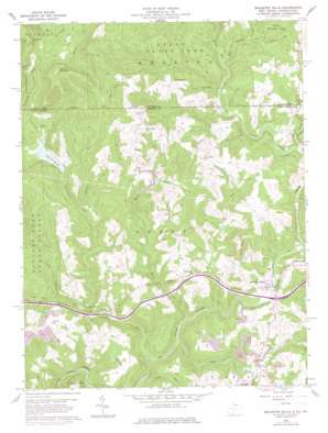
Bruceton Mills Topo Map West Virginia
To zoom in, hover over the map of Bruceton Mills
USGS Topo Quad 39079f6 - 1:24,000 scale
| Topo Map Name: | Bruceton Mills |
| USGS Topo Quad ID: | 39079f6 |
| Print Size: | ca. 21 1/4" wide x 27" high |
| Southeast Coordinates: | 39.625° N latitude / 79.625° W longitude |
| Map Center Coordinates: | 39.6875° N latitude / 79.6875° W longitude |
| U.S. States: | WV, PA |
| Filename: | o39079f6.jpg |
| Download Map JPG Image: | Bruceton Mills topo map 1:24,000 scale |
| Map Type: | Topographic |
| Topo Series: | 7.5´ |
| Map Scale: | 1:24,000 |
| Source of Map Images: | United States Geological Survey (USGS) |
| Alternate Map Versions: |
Bruceton Mills WV 1960, updated 1961 Download PDF Buy paper map Bruceton Mills WV 1960, updated 1968 Download PDF Buy paper map Bruceton Mills WV 1960, updated 1978 Download PDF Buy paper map Bruceton Mills WV 1960, updated 1978 Download PDF Buy paper map Bruceton Mills WV 1960, updated 1998 Download PDF Buy paper map Bruceton Mills WV 1997, updated 2000 Download PDF Buy paper map Bruceton Mills WV 2011 Download PDF Buy paper map Bruceton Mills WV 2014 Download PDF Buy paper map Bruceton Mills WV 2016 Download PDF Buy paper map |
1:24,000 Topo Quads surrounding Bruceton Mills
> Back to 39079e1 at 1:100,000 scale
> Back to 39078a1 at 1:250,000 scale
> Back to U.S. Topo Maps home
Bruceton Mills topo map: Gazetteer
Bruceton Mills: Bridges
Little Sandy Creek Bridge elevation 475m 1558′Bruceton Mills: Crossings
Interchange 23 elevation 465m 1525′Bruceton Mills: Dams
Bruceton Mills Dam elevation 462m 1515′Lake O'Woods Recreation Club Dam elevation 585m 1919′
Petitte Number One Refuse Impoundment Dam elevation 515m 1689′
Bruceton Mills: Gaps
Wymps Gap elevation 697m 2286′Bruceton Mills: Populated Places
Bruceton Mills elevation 467m 1532′Florence (historical) elevation 575m 1886′
Hopewell elevation 531m 1742′
Laurel Run elevation 461m 1512′
Little Sandy elevation 477m 1564′
Bruceton Mills: Reservoirs
Bruceton Mills Lake elevation 462m 1515′Lake O' Woods elevation 573m 1879′
Robinson Run Lake elevation 515m 1689′
Bruceton Mills: Springs
Ward Thompson Spring elevation 514m 1686′Bruceton Mills: Streams
Glade Run elevation 464m 1522′Glade Run elevation 458m 1502′
Hazel Run elevation 449m 1473′
Laurel Run elevation 431m 1414′
Laurel Run elevation 428m 1404′
Lick Run elevation 479m 1571′
Little Laurel Creek elevation 560m 1837′
Little Laurel Run elevation 457m 1499′
Little Sandy Creek elevation 465m 1525′
Little Sandy Creek elevation 440m 1443′
Little Sandy Creek elevation 465m 1525′
Parker Run elevation 420m 1377′
Patterson Run elevation 503m 1650′
Patterson Run elevation 504m 1653′
Quebec Run elevation 475m 1558′
Tebolt Run elevation 474m 1555′
Webster Run elevation 470m 1541′
Bruceton Mills: Summits
Devies Mountain elevation 839m 2752′Bruceton Mills digital topo map on disk
Buy this Bruceton Mills topo map showing relief, roads, GPS coordinates and other geographical features, as a high-resolution digital map file on DVD:


