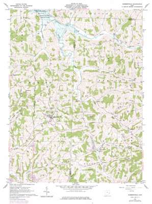
Summerfield Topo Map Ohio
To zoom in, hover over the map of Summerfield
USGS Topo Quad 39081g3 - 1:24,000 scale
| Topo Map Name: | Summerfield |
| USGS Topo Quad ID: | 39081g3 |
| Print Size: | ca. 21 1/4" wide x 27" high |
| Southeast Coordinates: | 39.75° N latitude / 81.25° W longitude |
| Map Center Coordinates: | 39.8125° N latitude / 81.3125° W longitude |
| U.S. State: | OH |
| Filename: | o39081g3.jpg |
| Download Map JPG Image: | Summerfield topo map 1:24,000 scale |
| Map Type: | Topographic |
| Topo Series: | 7.5´ |
| Map Scale: | 1:24,000 |
| Source of Map Images: | United States Geological Survey (USGS) |
| Alternate Map Versions: |
Summerfield OH 1961, updated 1963 Download PDF Buy paper map Summerfield OH 1961, updated 1978 Download PDF Buy paper map Summerfield OH 1994, updated 1998 Download PDF Buy paper map Summerfield OH 2002, updated 2006 Download PDF Buy paper map Summerfield OH 2011 Download PDF Buy paper map Summerfield OH 2013 Download PDF Buy paper map Summerfield OH 2016 Download PDF Buy paper map |
| FStopo: | US Forest Service topo Summerfield is available: Download FStopo PDF Download FStopo TIF |
1:24,000 Topo Quads surrounding Summerfield
> Back to 39081e1 at 1:100,000 scale
> Back to 39080a1 at 1:250,000 scale
> Back to U.S. Topo Maps home
Summerfield topo map: Gazetteer
Summerfield: Mines
Christman Quarry elevation 315m 1033′Summerfield: Populated Places
Brister elevation 271m 889′Burkhart elevation 277m 908′
Calais elevation 261m 856′
Doherty elevation 271m 889′
Herlan elevation 263m 862′
Steamtown elevation 349m 1145′
Summerfield elevation 366m 1200′
Swazey elevation 284m 931′
Whigville elevation 359m 1177′
Summerfield: Post Offices
Brister Post Office (historical) elevation 270m 885′Burkhart Post Office (historical) elevation 281m 921′
Calais Post Office (historical) elevation 262m 859′
Doherty Post Office (historical) elevation 285m 935′
Summerfield Post Office elevation 364m 1194′
Swazey Post Office (historical) elevation 284m 931′
Whigville Post Office (historical) elevation 361m 1184′
Summerfield: Ridges
Bracken Ridge elevation 362m 1187′Curtis Ridge elevation 366m 1200′
Lexington Ridge elevation 355m 1164′
Summerfield: Streams
Bishop Run elevation 272m 892′Death Run elevation 284m 931′
DeVoa Run elevation 292m 958′
Mud Run elevation 263m 862′
Paynes Fork elevation 262m 859′
Robinson Run elevation 280m 918′
Skin Creek elevation 257m 843′
South Fork elevation 252m 826′
Summerfield: Summits
Ranker Knob elevation 367m 1204′Summerfield digital topo map on disk
Buy this Summerfield topo map showing relief, roads, GPS coordinates and other geographical features, as a high-resolution digital map file on DVD:


