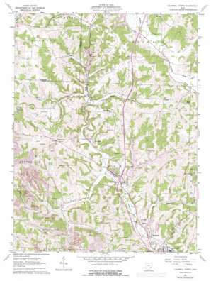
Caldwell North Topo Map Ohio
To zoom in, hover over the map of Caldwell North
USGS Topo Quad 39081g5 - 1:24,000 scale
| Topo Map Name: | Caldwell North |
| USGS Topo Quad ID: | 39081g5 |
| Print Size: | ca. 21 1/4" wide x 27" high |
| Southeast Coordinates: | 39.75° N latitude / 81.5° W longitude |
| Map Center Coordinates: | 39.8125° N latitude / 81.5625° W longitude |
| U.S. State: | OH |
| Filename: | o39081g5.jpg |
| Download Map JPG Image: | Caldwell North topo map 1:24,000 scale |
| Map Type: | Topographic |
| Topo Series: | 7.5´ |
| Map Scale: | 1:24,000 |
| Source of Map Images: | United States Geological Survey (USGS) |
| Alternate Map Versions: |
Caldwell North OH 1961, updated 1963 Download PDF Buy paper map Caldwell North OH 1961, updated 1973 Download PDF Buy paper map Caldwell North OH 1961, updated 1977 Download PDF Buy paper map Caldwell North OH 1994, updated 1998 Download PDF Buy paper map Caldwell North OH 2010 Download PDF Buy paper map Caldwell North OH 2013 Download PDF Buy paper map Caldwell North OH 2016 Download PDF Buy paper map |
1:24,000 Topo Quads surrounding Caldwell North
> Back to 39081e1 at 1:100,000 scale
> Back to 39080a1 at 1:250,000 scale
> Back to U.S. Topo Maps home
Caldwell North topo map: Gazetteer
Caldwell North: Airports
Noble County Airport elevation 266m 872′Caldwell North: Crossings
Interchange 28 elevation 224m 734′Caldwell North: Dams
Caldwell Lake Dam elevation 228m 748′Central Ohio Coal Company Nb-151 Dam elevation 283m 928′
Mathews Pond Dam elevation 265m 869′
Wolf Run Lake Dam elevation 268m 879′
Caldwell North: Parks
Wolf Run State Park elevation 257m 843′Caldwell North: Populated Places
Ava elevation 232m 761′Belle Valley elevation 227m 744′
Coal Ridge elevation 225m 738′
Florence elevation 230m 754′
Glenwood elevation 265m 869′
Hiramsburg elevation 293m 961′
Hoskinsville elevation 238m 780′
Mount Zion elevation 316m 1036′
Rochester elevation 313m 1026′
Scott (historical) elevation 260m 853′
Slaters elevation 242m 793′
Caldwell North: Post Offices
Ava Post Office elevation 233m 764′Belle Valley Post Office elevation 226m 741′
Coalridge Post Office (historical) elevation 226m 741′
Glenwood Post Office (historical) elevation 265m 869′
Hiramsburg Post Office (historical) elevation 292m 958′
Hoskinsville Post Office (historical) elevation 237m 777′
Mount Zion Post Office (historical) elevation 313m 1026′
Caldwell North: Reservoirs
Caldwell Lake elevation 228m 748′Central Ohio Coal Company Nb-151 Reservoir elevation 283m 928′
Eastern Ohio Research Development Center Pond elevation 281m 921′
Mathews Pond elevation 265m 869′
Wolf Run Lake elevation 268m 879′
Caldwell North: Streams
Coal Run elevation 235m 770′Dog Run elevation 224m 734′
Johnny Woods River elevation 232m 761′
Lick Run elevation 249m 816′
North Fork Buffalo Creek elevation 250m 820′
Otter Run elevation 219m 718′
Patty Creek elevation 240m 787′
Wolf Run elevation 223m 731′
Caldwell North: Trails
Cherry Tree Trail elevation 249m 816′Caldwell North digital topo map on disk
Buy this Caldwell North topo map showing relief, roads, GPS coordinates and other geographical features, as a high-resolution digital map file on DVD:


