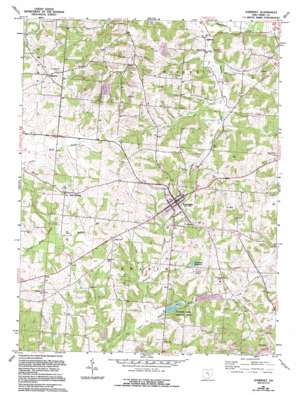
Somerset Topo Map Ohio
To zoom in, hover over the map of Somerset
USGS Topo Quad 39082g3 - 1:24,000 scale
| Topo Map Name: | Somerset |
| USGS Topo Quad ID: | 39082g3 |
| Print Size: | ca. 21 1/4" wide x 27" high |
| Southeast Coordinates: | 39.75° N latitude / 82.25° W longitude |
| Map Center Coordinates: | 39.8125° N latitude / 82.3125° W longitude |
| U.S. State: | OH |
| Filename: | o39082g3.jpg |
| Download Map JPG Image: | Somerset topo map 1:24,000 scale |
| Map Type: | Topographic |
| Topo Series: | 7.5´ |
| Map Scale: | 1:24,000 |
| Source of Map Images: | United States Geological Survey (USGS) |
| Alternate Map Versions: |
Somerset OH 1961, updated 1963 Download PDF Buy paper map Somerset OH 1961, updated 1977 Download PDF Buy paper map Somerset OH 1961, updated 1994 Download PDF Buy paper map Somerset OH 2010 Download PDF Buy paper map Somerset OH 2013 Download PDF Buy paper map Somerset OH 2016 Download PDF Buy paper map |
1:24,000 Topo Quads surrounding Somerset
> Back to 39082e1 at 1:100,000 scale
> Back to 39082a1 at 1:250,000 scale
> Back to U.S. Topo Maps home
Somerset topo map: Gazetteer
Somerset: Bridges
Bowman Mill Bridge elevation 289m 948′Hopewell Church Bridge elevation 255m 836′
Parks Bridge elevation 256m 839′
Somerset: Dams
Clouse Lake Dam elevation 263m 862′Rush Creek Structure 3a Dam elevation 255m 836′
Rush Creek Structure 3b Dam elevation 251m 823′
Somerset Reservoir Dam elevation 287m 941′
Somerset: Lakes
Lake Saint Joseph elevation 259m 849′Somerset: Parks
Clouse Lake Wildlife Area elevation 308m 1010′General Phillip Sheridan Monument elevation 334m 1095′
Somerset Historic District elevation 333m 1092′
Somerset: Populated Places
Chalfants elevation 257m 843′New Reading elevation 327m 1072′
Somerset elevation 330m 1082′
Wellan (historical) elevation 265m 869′
Ziontown elevation 330m 1082′
Somerset: Post Offices
Chalfonts Post Office (historical) elevation 256m 839′Somerset Post Office elevation 330m 1082′
Ziontown Post Office (historical) elevation 334m 1095′
Somerset: Reservoirs
Clouse Lake elevation 263m 862′Rush Creek Structure 3a Reservoir elevation 255m 836′
Rush Creek Structure 3b Reservoir elevation 251m 823′
Somerset Reservoir elevation 287m 941′
Somerset: Streams
Dittoe Run elevation 250m 820′Muddy Run elevation 287m 941′
Painter Creek elevation 250m 820′
Somerset Creek elevation 250m 820′
Somerset digital topo map on disk
Buy this Somerset topo map showing relief, roads, GPS coordinates and other geographical features, as a high-resolution digital map file on DVD:


