Cornland Topo Map Illinois
To zoom in, hover over the map of Cornland
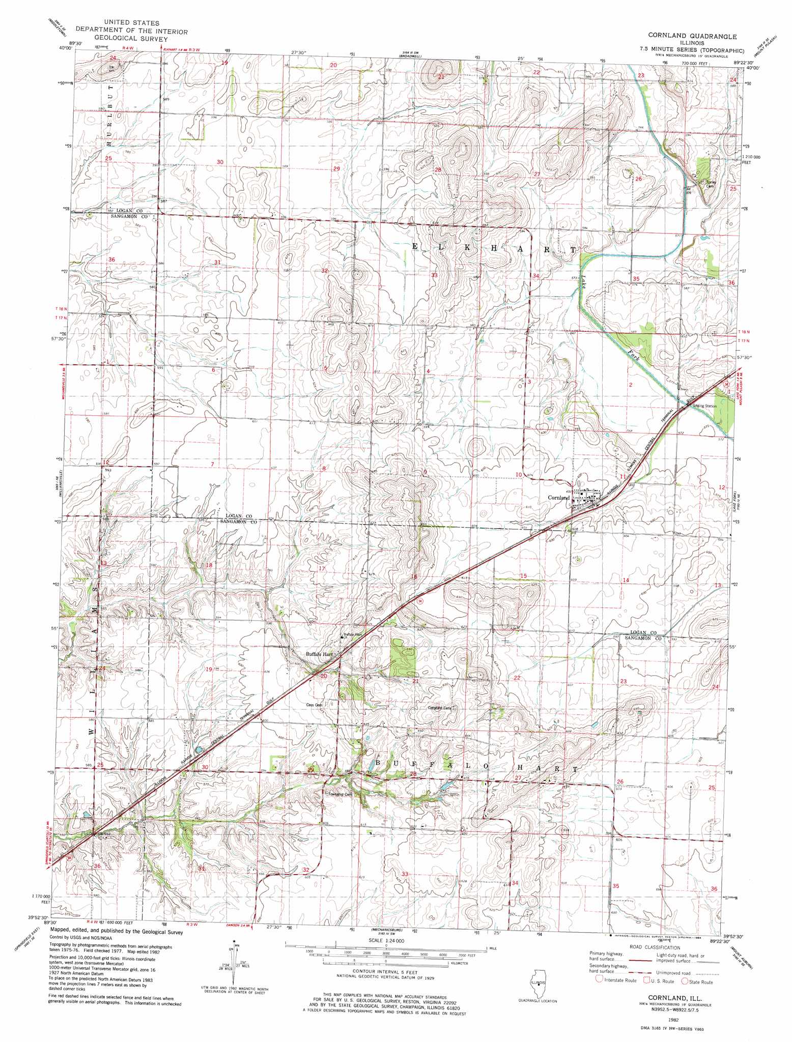
USGS Topo Quad 39089h4 - 1:24,000 scale
| Topo Map Name: | Cornland |
| USGS Topo Quad ID: | 39089h4 |
| Print Size: | ca. 21 1/4" wide x 27" high |
| Southeast Coordinates: | 39.875° N latitude / 89.375° W longitude |
| Map Center Coordinates: | 39.9375° N latitude / 89.4375° W longitude |
| U.S. State: | IL |
| Filename: | o39089h4.jpg |
| Download Map JPG Image: | Cornland topo map 1:24,000 scale |
| Map Type: | Topographic |
| Topo Series: | 7.5´ |
| Map Scale: | 1:24,000 |
| Source of Map Images: | United States Geological Survey (USGS) |
| Alternate Map Versions: |
Cornland IL 1982, updated 1984 Download PDF Buy paper map Cornland IL 2012 Download PDF Buy paper map Cornland IL 2015 Download PDF Buy paper map |
1:24,000 Topo Quads surrounding Cornland
Mason City |
New Holland |
Lincoln West |
Lincoln East |
Waynesville West |
Greenview |
Middleton |
Broadwell |
Mount Pulaski |
Chestnut |
Athens |
Williamsville |
Cornland |
Lake Fork |
Latham |
Springfield West |
Springfield East |
Mechanicsburg |
Mount Auburn |
Niantic |
Chatham |
New City |
Edinburg |
Grove City |
Stonington |
> Back to 39089e1 at 1:100,000 scale
> Back to 39088a1 at 1:250,000 scale
> Back to U.S. Topo Maps home
Cornland topo map: Gazetteer
Cornland: Populated Places
Buffalo Hart elevation 190m 623′Cornland elevation 184m 603′
Cornland: Post Offices
Cornland Post Office elevation 183m 600′Cornland digital topo map on disk
Buy this Cornland topo map showing relief, roads, GPS coordinates and other geographical features, as a high-resolution digital map file on DVD:
Northern Illinois, Northern Indiana & Southwestern Michigan
Buy digital topo maps: Northern Illinois, Northern Indiana & Southwestern Michigan