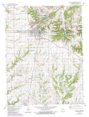
Bowling Green Topo Map Missouri
To zoom in, hover over the map of Bowling Green
USGS Topo Quad 39091c2 - 1:24,000 scale
| Topo Map Name: | Bowling Green |
| USGS Topo Quad ID: | 39091c2 |
| Print Size: | ca. 21 1/4" wide x 27" high |
| Southeast Coordinates: | 39.25° N latitude / 91.125° W longitude |
| Map Center Coordinates: | 39.3125° N latitude / 91.1875° W longitude |
| U.S. State: | MO |
| Filename: | o39091c2.jpg |
| Download Map JPG Image: | Bowling Green topo map 1:24,000 scale |
| Map Type: | Topographic |
| Topo Series: | 7.5´ |
| Map Scale: | 1:24,000 |
| Source of Map Images: | United States Geological Survey (USGS) |
| Alternate Map Versions: |
Bowling Green MO 1978, updated 1978 Download PDF Buy paper map Bowling Green MO 1978, updated 1985 Download PDF Buy paper map Bowling Green MO 2012 Download PDF Buy paper map Bowling Green MO 2015 Download PDF Buy paper map |
1:24,000 Topo Quads surrounding Bowling Green
> Back to 39091a1 at 1:100,000 scale
> Back to 39090a1 at 1:250,000 scale
> Back to U.S. Topo Maps home
Bowling Green topo map: Gazetteer
Bowling Green: Airports
Bowling Green Municipal Airport elevation 266m 872′Bowling Green: Dams
Bibb Dam elevation 230m 754′Bowling Green Reservoir Dam elevation 243m 797′
Ebers Brothers Dam elevation 219m 718′
Old Bowling Green Reservoir Dam elevation 225m 738′
Paul Williams Dam elevation 197m 646′
Vera Lake Dam elevation 207m 679′
Bowling Green: Populated Places
Ashley elevation 221m 725′Bowling Green elevation 272m 892′
Saint Clement elevation 248m 813′
Tarrants elevation 217m 711′
Bowling Green: Reservoirs
Bibb Lake elevation 230m 754′Bowling Green Reservoir elevation 243m 797′
Ebers Brothers Lake elevation 219m 718′
Old Lake elevation 225m 738′
Vera Lake elevation 207m 679′
Bowling Green: Streams
East Sulphur Creek elevation 201m 659′Middle Sulphur Creek elevation 201m 659′
Bowling Green: Valleys
Buckner Hollow elevation 192m 629′Bowling Green digital topo map on disk
Buy this Bowling Green topo map showing relief, roads, GPS coordinates and other geographical features, as a high-resolution digital map file on DVD:


