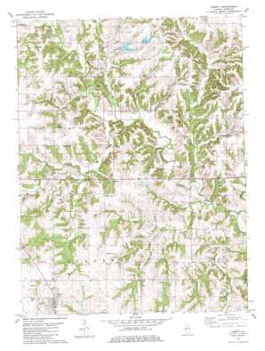
Liberty Topo Map Illinois
To zoom in, hover over the map of Liberty
USGS Topo Quad 39091h1 - 1:24,000 scale
| Topo Map Name: | Liberty |
| USGS Topo Quad ID: | 39091h1 |
| Print Size: | ca. 21 1/4" wide x 27" high |
| Southeast Coordinates: | 39.875° N latitude / 91° W longitude |
| Map Center Coordinates: | 39.9375° N latitude / 91.0625° W longitude |
| U.S. State: | IL |
| Filename: | o39091h1.jpg |
| Download Map JPG Image: | Liberty topo map 1:24,000 scale |
| Map Type: | Topographic |
| Topo Series: | 7.5´ |
| Map Scale: | 1:24,000 |
| Source of Map Images: | United States Geological Survey (USGS) |
| Alternate Map Versions: |
Liberty IL 1981, updated 1981 Download PDF Buy paper map Liberty IL 2012 Download PDF Buy paper map Liberty IL 2015 Download PDF Buy paper map |
1:24,000 Topo Quads surrounding Liberty
> Back to 39091e1 at 1:100,000 scale
> Back to 39090a1 at 1:250,000 scale
> Back to U.S. Topo Maps home
Liberty topo map: Gazetteer
Liberty: Dams
Columbus Dry Gulch Club Lake Dam elevation 203m 666′Harrell Lake Dam South elevation 196m 643′
Harrell Lake North Dam elevation 214m 702′
Sims Pond Dam elevation 192m 629′
Liberty: Populated Places
Liberty elevation 229m 751′Liberty: Reservoirs
Columbus Dry Gulch Club Lake elevation 203m 666′Harrell Lake North elevation 214m 702′
Harrell Lake South elevation 196m 643′
Sims Pond elevation 192m 629′
Liberty: Streams
Curl Creek elevation 181m 593′Figley Branch elevation 185m 606′
Fisher Branch elevation 179m 587′
Lierle Creek elevation 186m 610′
Walker Branch elevation 185m 606′
Walnut Fork elevation 178m 583′
Willow Branch elevation 190m 623′
Liberty digital topo map on disk
Buy this Liberty topo map showing relief, roads, GPS coordinates and other geographical features, as a high-resolution digital map file on DVD:


