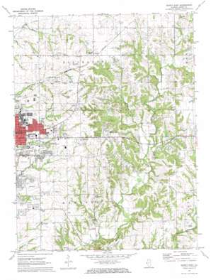
Quincy East Topo Map Illinois
To zoom in, hover over the map of Quincy East
USGS Topo Quad 39091h3 - 1:24,000 scale
| Topo Map Name: | Quincy East |
| USGS Topo Quad ID: | 39091h3 |
| Print Size: | ca. 21 1/4" wide x 27" high |
| Southeast Coordinates: | 39.875° N latitude / 91.25° W longitude |
| Map Center Coordinates: | 39.9375° N latitude / 91.3125° W longitude |
| U.S. State: | IL |
| Filename: | o39091h3.jpg |
| Download Map JPG Image: | Quincy East topo map 1:24,000 scale |
| Map Type: | Topographic |
| Topo Series: | 7.5´ |
| Map Scale: | 1:24,000 |
| Source of Map Images: | United States Geological Survey (USGS) |
| Alternate Map Versions: |
Quincy East IL 1971, updated 1973 Download PDF Buy paper map Quincy East IL 1995, updated 1998 Download PDF Buy paper map Quincy East IL 2012 Download PDF Buy paper map Quincy East IL 2015 Download PDF Buy paper map |
1:24,000 Topo Quads surrounding Quincy East
> Back to 39091e1 at 1:100,000 scale
> Back to 39090a1 at 1:250,000 scale
> Back to U.S. Topo Maps home
Quincy East topo map: Gazetteer
Quincy East: Airports
Ellington Field elevation 197m 646′Mast Field elevation 227m 744′
Seigfried Halfpap Airport elevation 162m 531′
Quincy East: Mines
Mill Creek Quarry elevation 160m 524′Quincy East: Parks
Progress Park elevation 207m 679′Wavering Park elevation 196m 643′
Westview Park elevation 195m 639′
Quincy East: Populated Places
Cheshire Hills elevation 219m 718′Country Meadows elevation 212m 695′
Ewbanks elevation 218m 715′
Glendale elevation 200m 656′
Hickory Grove elevation 225m 738′
Hillside Manor elevation 189m 620′
Holiday Hills elevation 211m 692′
Lincoln Hills elevation 192m 629′
Meadowbrook elevation 206m 675′
Woodlawn Court elevation 194m 636′
Quincy East: Post Offices
Cliola Post Office (historical) elevation 219m 718′Quincy East: Springs
Wand Spring elevation 163m 534′Quincy East: Streams
Emery Creek elevation 177m 580′Little Mill Creek elevation 177m 580′
Quincy East digital topo map on disk
Buy this Quincy East topo map showing relief, roads, GPS coordinates and other geographical features, as a high-resolution digital map file on DVD:


