Randolph Topo Map Kansas
To zoom in, hover over the map of Randolph
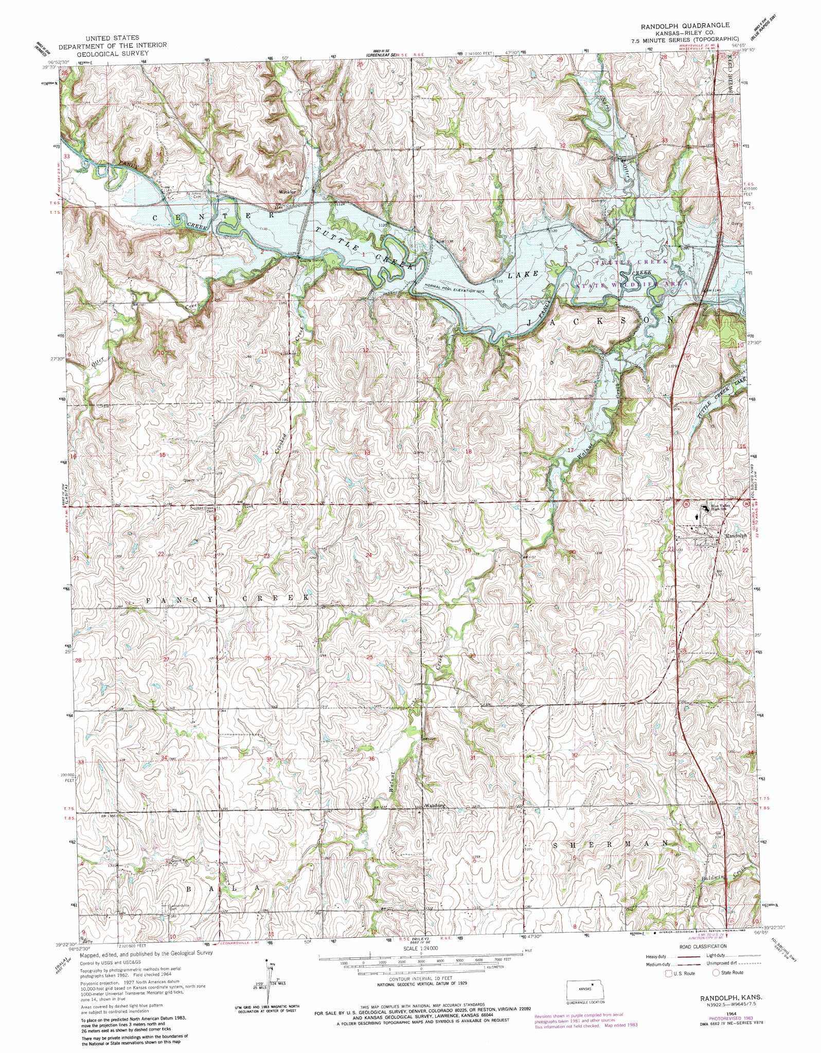
USGS Topo Quad 39096d7 - 1:24,000 scale
| Topo Map Name: | Randolph |
| USGS Topo Quad ID: | 39096d7 |
| Print Size: | ca. 21 1/4" wide x 27" high |
| Southeast Coordinates: | 39.375° N latitude / 96.75° W longitude |
| Map Center Coordinates: | 39.4375° N latitude / 96.8125° W longitude |
| U.S. State: | KS |
| Filename: | o39096d7.jpg |
| Download Map JPG Image: | Randolph topo map 1:24,000 scale |
| Map Type: | Topographic |
| Topo Series: | 7.5´ |
| Map Scale: | 1:24,000 |
| Source of Map Images: | United States Geological Survey (USGS) |
| Alternate Map Versions: |
Randolph KS 1964, updated 1965 Download PDF Buy paper map Randolph KS 1964, updated 1983 Download PDF Buy paper map Randolph KS 2009 Download PDF Buy paper map Randolph KS 2012 Download PDF Buy paper map Randolph KS 2015 Download PDF Buy paper map |
1:24,000 Topo Quads surrounding Randolph
Linn |
Greenleaf |
Barnes |
Blue Rapids |
Blue Rapids Ne |
Linn Se |
Kimeo |
Greenleaf Se |
Blue Rapids Sw |
Blue Rapids Se |
Clay Center Ne |
Lasita |
Randolph |
Olsburg Nw |
Olsburg |
Clay Center Se |
Bala |
Riley |
Olsburg Sw |
Tuttle Creek Dam |
Wakefield |
Milford |
Fort Riley Ne |
Keats |
Manhattan |
> Back to 39096a1 at 1:100,000 scale
> Back to 39096a1 at 1:250,000 scale
> Back to U.S. Topo Maps home
Randolph topo map: Gazetteer
Randolph: Populated Places
Randolph elevation 375m 1230′Walsburg elevation 397m 1302′
Winkler elevation 355m 1164′
Randolph: Streams
Crooked Creek elevation 337m 1105′North Otter Creek elevation 326m 1069′
Otter Creek elevation 337m 1105′
School Branch elevation 334m 1095′
Walnut Creek elevation 327m 1072′
Randolph digital topo map on disk
Buy this Randolph topo map showing relief, roads, GPS coordinates and other geographical features, as a high-resolution digital map file on DVD: