Burr Oak Topo Map Kansas
To zoom in, hover over the map of Burr Oak
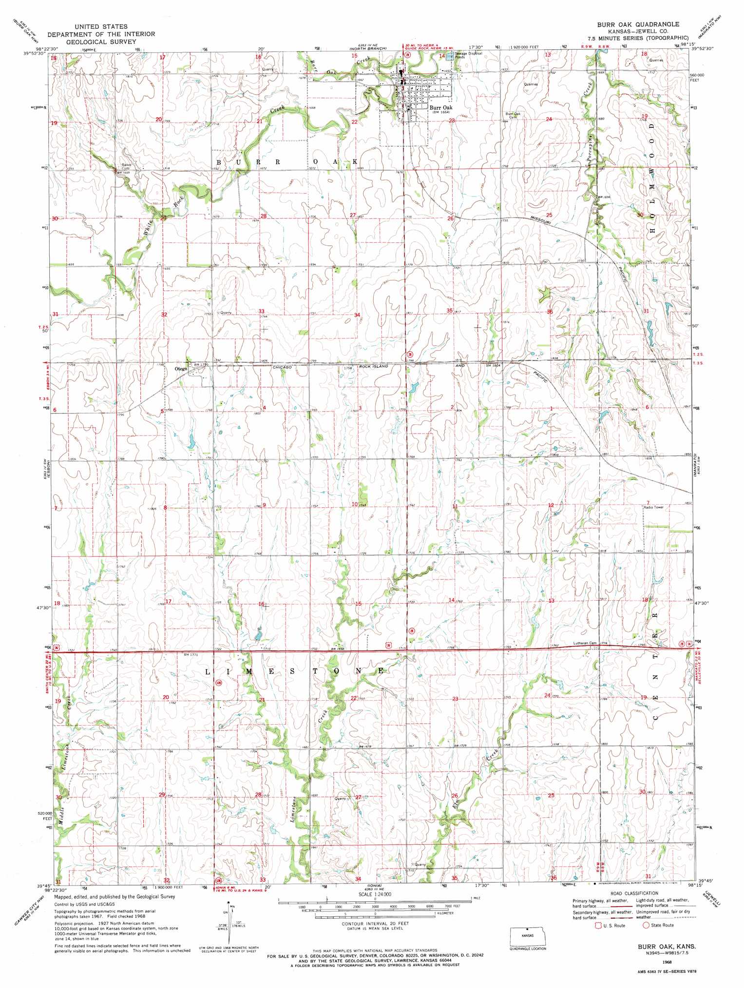
USGS Topo Quad 39098g3 - 1:24,000 scale
| Topo Map Name: | Burr Oak |
| USGS Topo Quad ID: | 39098g3 |
| Print Size: | ca. 21 1/4" wide x 27" high |
| Southeast Coordinates: | 39.75° N latitude / 98.25° W longitude |
| Map Center Coordinates: | 39.8125° N latitude / 98.3125° W longitude |
| U.S. State: | KS |
| Filename: | o39098g3.jpg |
| Download Map JPG Image: | Burr Oak topo map 1:24,000 scale |
| Map Type: | Topographic |
| Topo Series: | 7.5´ |
| Map Scale: | 1:24,000 |
| Source of Map Images: | United States Geological Survey (USGS) |
| Alternate Map Versions: |
Burr Oak KS 1968, updated 1971 Download PDF Buy paper map Burr Oak KS 2009 Download PDF Buy paper map Burr Oak KS 2012 Download PDF Buy paper map Burr Oak KS 2015 Download PDF Buy paper map |
1:24,000 Topo Quads surrounding Burr Oak
Red Cloud |
Amboy |
Guide Rock |
Bostwick |
Superior |
Mccracken Branch |
Burr Oak Nw |
Northbranch |
Mankato Nw |
Webber |
Lebanon |
Esbon |
Burr Oak |
Mankato |
Montrose |
Portis Ne |
Cawker City Nw |
Ionia |
Jewell |
Randall |
Downs North |
Cawker City |
Glen Elder North |
Jewell Sw |
Jewell Se |
> Back to 39098e1 at 1:100,000 scale
> Back to 39098a1 at 1:250,000 scale
> Back to U.S. Topo Maps home
Burr Oak topo map: Gazetteer
Burr Oak: Populated Places
Burr Oak elevation 507m 1663′Otego elevation 548m 1797′
Burr Oak: Streams
Burr Oak Creek elevation 501m 1643′Burr Oak digital topo map on disk
Buy this Burr Oak topo map showing relief, roads, GPS coordinates and other geographical features, as a high-resolution digital map file on DVD: