Plainville Se Topo Map Kansas
To zoom in, hover over the map of Plainville Se
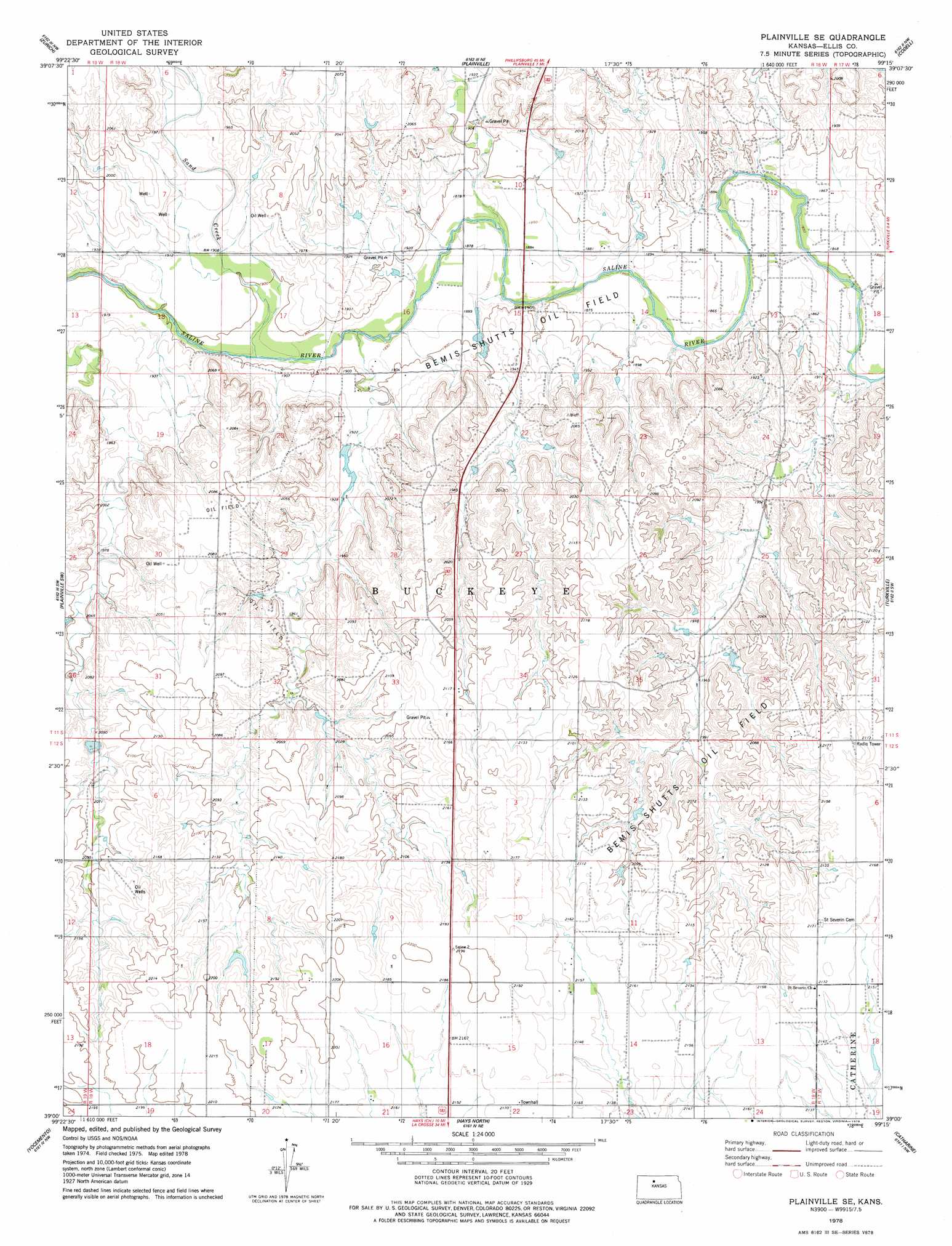
USGS Topo Quad 39099a3 - 1:24,000 scale
| Topo Map Name: | Plainville Se |
| USGS Topo Quad ID: | 39099a3 |
| Print Size: | ca. 21 1/4" wide x 27" high |
| Southeast Coordinates: | 39° N latitude / 99.25° W longitude |
| Map Center Coordinates: | 39.0625° N latitude / 99.3125° W longitude |
| U.S. State: | KS |
| Filename: | o39099a3.jpg |
| Download Map JPG Image: | Plainville Se topo map 1:24,000 scale |
| Map Type: | Topographic |
| Topo Series: | 7.5´ |
| Map Scale: | 1:24,000 |
| Source of Map Images: | United States Geological Survey (USGS) |
| Alternate Map Versions: |
Plainville SE KS 1978, updated 1979 Download PDF Buy paper map Plainville SE KS 2009 Download PDF Buy paper map Plainville SE KS 2012 Download PDF Buy paper map Plainville SE KS 2015 Download PDF Buy paper map |
1:24,000 Topo Quads surrounding Plainville Se
Palco |
Stockton Sw |
Stockton Se |
Twin Mound |
Laton |
Wild Horse Creek |
Zurich |
Plainville |
Codell |
Natoma |
Hill City 4 Se |
Plainville Sw |
Plainville Se |
Turkville |
Fairport |
Ellis |
Yocemento |
Hays North |
Catharine |
Gorham |
Ellis Se |
Antonino |
Hays South |
Victoria |
Walker |
> Back to 39099a1 at 1:100,000 scale
> Back to 39098a1 at 1:250,000 scale
> Back to U.S. Topo Maps home
Plainville Se digital topo map on disk
Buy this Plainville Se topo map showing relief, roads, GPS coordinates and other geographical features, as a high-resolution digital map file on DVD: