Hoxie Nw Topo Map Kansas
To zoom in, hover over the map of Hoxie Nw
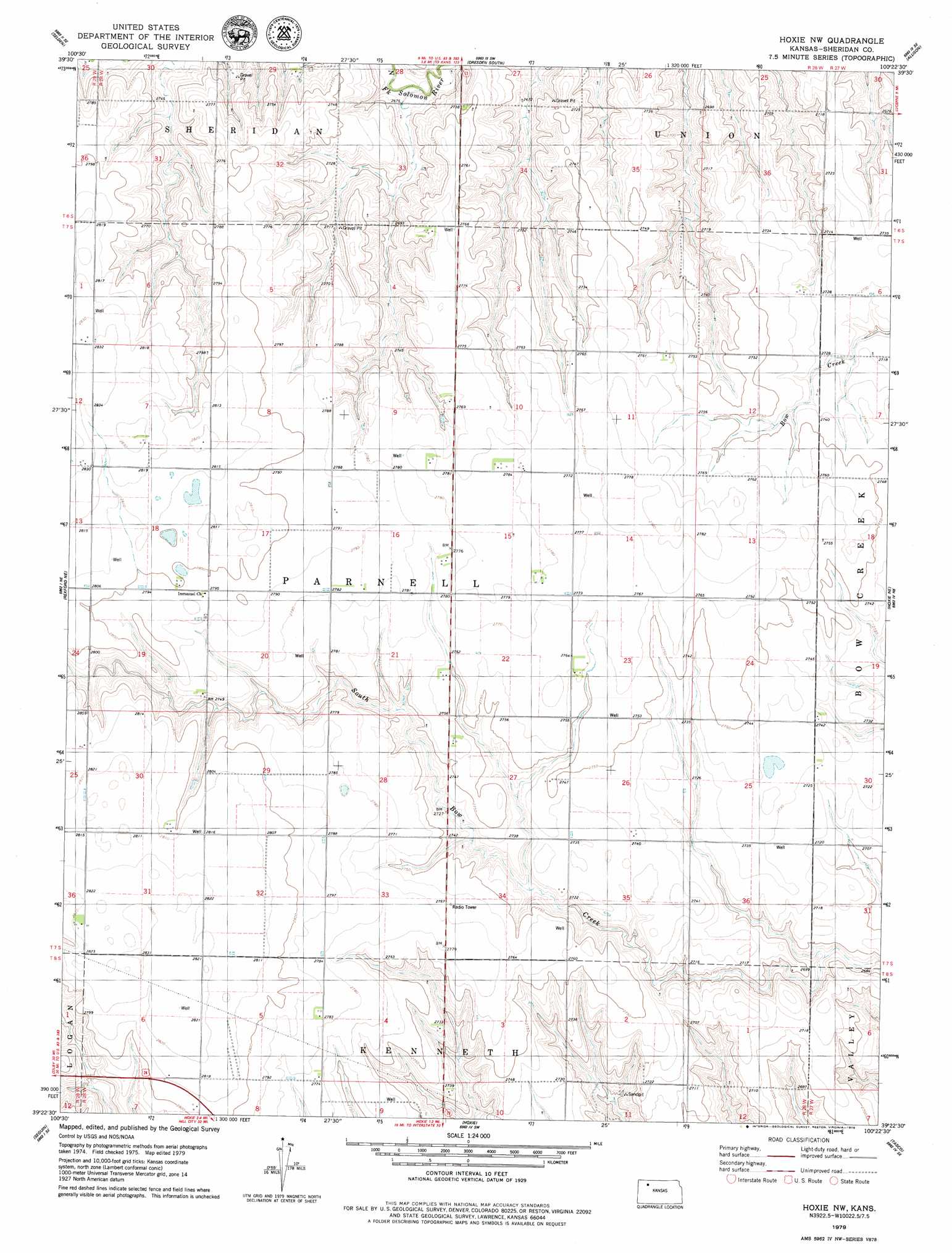
USGS Topo Quad 39100d4 - 1:24,000 scale
| Topo Map Name: | Hoxie Nw |
| USGS Topo Quad ID: | 39100d4 |
| Print Size: | ca. 21 1/4" wide x 27" high |
| Southeast Coordinates: | 39.375° N latitude / 100.375° W longitude |
| Map Center Coordinates: | 39.4375° N latitude / 100.4375° W longitude |
| U.S. State: | KS |
| Filename: | o39100d4.jpg |
| Download Map JPG Image: | Hoxie Nw topo map 1:24,000 scale |
| Map Type: | Topographic |
| Topo Series: | 7.5´ |
| Map Scale: | 1:24,000 |
| Source of Map Images: | United States Geological Survey (USGS) |
| Alternate Map Versions: |
Hoxie NW KS 1979, updated 1979 Download PDF Buy paper map Hoxie NW KS 2009 Download PDF Buy paper map Hoxie NW KS 2012 Download PDF Buy paper map Hoxie NW KS 2015 Download PDF Buy paper map |
1:24,000 Topo Quads surrounding Hoxie Nw
Selden Nw |
Selden Ne |
Dresden North |
Jennings |
Clayton |
Selden Sw |
Selden |
Dresden South |
Allison |
Clayton Sw |
Rexford |
Rexford Ne |
Hoxie Nw |
Hoxie Ne |
Lucerne |
Menlo |
Seguin |
Hoxie |
Tasco |
Studley |
Grinnell North |
Grinnell Ne |
Midway Draw West |
Midway Draw East |
Quinter Nw |
> Back to 39100a1 at 1:100,000 scale
> Back to 39100a1 at 1:250,000 scale
> Back to U.S. Topo Maps home
No gazetteer data is available for the Hoxie Nw topo map sheet.
Hoxie Nw digital topo map on disk
Buy this Hoxie Nw topo map showing relief, roads, GPS coordinates and other geographical features, as a high-resolution digital map file on DVD: