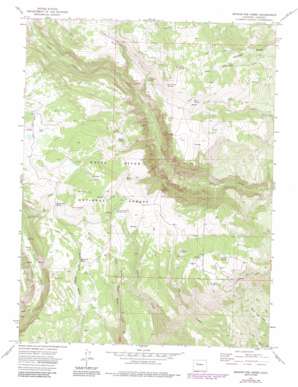
Broken Rib Creek Topo Map Colorado
To zoom in, hover over the map of Broken Rib Creek
USGS Topo Quad 39107f2 - 1:24,000 scale
| Topo Map Name: | Broken Rib Creek |
| USGS Topo Quad ID: | 39107f2 |
| Print Size: | ca. 21 1/4" wide x 27" high |
| Southeast Coordinates: | 39.625° N latitude / 107.125° W longitude |
| Map Center Coordinates: | 39.6875° N latitude / 107.1875° W longitude |
| U.S. State: | CO |
| Filename: | o39107f2.jpg |
| Download Map JPG Image: | Broken Rib Creek topo map 1:24,000 scale |
| Map Type: | Topographic |
| Topo Series: | 7.5´ |
| Map Scale: | 1:24,000 |
| Source of Map Images: | United States Geological Survey (USGS) |
| Alternate Map Versions: |
Broken Rib Creek CO 1974, updated 1977 Download PDF Buy paper map Broken Rib Creek CO 1974, updated 1988 Download PDF Buy paper map Broken Rib Creek CO 2011 Download PDF Buy paper map Broken Rib Creek CO 2013 Download PDF Buy paper map Broken Rib Creek CO 2016 Download PDF Buy paper map |
| FStopo: | US Forest Service topo Broken Rib Creek is available: Download FStopo PDF Download FStopo TIF |
1:24,000 Topo Quads surrounding Broken Rib Creek
> Back to 39107e1 at 1:100,000 scale
> Back to 39106a1 at 1:250,000 scale
> Back to U.S. Topo Maps home
Broken Rib Creek topo map: Gazetteer
Broken Rib Creek: Flats
Coyote Park elevation 3243m 10639′Crane Park elevation 3162m 10374′
Broken Rib Creek: Ridges
Burnt Tree Ridge elevation 2343m 7687′Monegar Ridge elevation 2635m 8645′
Broken Rib Creek: Springs
Ballixburg Spring elevation 2884m 9461′Broken Rib Spring elevation 3096m 10157′
Deadhorse Spring elevation 2962m 9717′
Irrawaddy Spring elevation 3070m 10072′
Leroy Spring elevation 3105m 10187′
Maynes Spring elevation 3096m 10157′
Mud Spring elevation 2967m 9734′
Sheep Spring elevation 3114m 10216′
Short Creek Spring Number 1 elevation 3091m 10141′
Short Creek Spring Number 2 elevation 3117m 10226′
Willow Spring elevation 2825m 9268′
Broken Rib Creek: Streams
Lower Short Creek elevation 2646m 8681′Broken Rib Creek digital topo map on disk
Buy this Broken Rib Creek topo map showing relief, roads, GPS coordinates and other geographical features, as a high-resolution digital map file on DVD:


