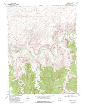
Asphalt Wash Topo Map Utah
To zoom in, hover over the map of Asphalt Wash
USGS Topo Quad 39109h3 - 1:24,000 scale
| Topo Map Name: | Asphalt Wash |
| USGS Topo Quad ID: | 39109h3 |
| Print Size: | ca. 21 1/4" wide x 27" high |
| Southeast Coordinates: | 39.875° N latitude / 109.25° W longitude |
| Map Center Coordinates: | 39.9375° N latitude / 109.3125° W longitude |
| U.S. State: | UT |
| Filename: | o39109h3.jpg |
| Download Map JPG Image: | Asphalt Wash topo map 1:24,000 scale |
| Map Type: | Topographic |
| Topo Series: | 7.5´ |
| Map Scale: | 1:24,000 |
| Source of Map Images: | United States Geological Survey (USGS) |
| Alternate Map Versions: |
Asphalt Wash UT 1968, updated 1970 Download PDF Buy paper map Asphalt Wash UT 1968, updated 1987 Download PDF Buy paper map Asphalt Wash UT 2011 Download PDF Buy paper map Asphalt Wash UT 2014 Download PDF Buy paper map |
1:24,000 Topo Quads surrounding Asphalt Wash
> Back to 39109e1 at 1:100,000 scale
> Back to 39108a1 at 1:250,000 scale
> Back to U.S. Topo Maps home
Asphalt Wash topo map: Gazetteer
Asphalt Wash: Oilfields
Southman Canyon Gas Field elevation 1602m 5255′Asphalt Wash: Valleys
Asphalt Wash elevation 1489m 4885′Atchees Wash elevation 1482m 4862′
Center Fork Asphalt Wash elevation 1591m 5219′
East Fork Saddletree Draw elevation 1573m 5160′
Hanging Rock Hollow elevation 1589m 5213′
Saddletree Draw elevation 1474m 4835′
West Fork Asphalt Wash elevation 1592m 5223′
West Fork Saddletree Draw elevation 1570m 5150′
Asphalt Wash digital topo map on disk
Buy this Asphalt Wash topo map showing relief, roads, GPS coordinates and other geographical features, as a high-resolution digital map file on DVD:


