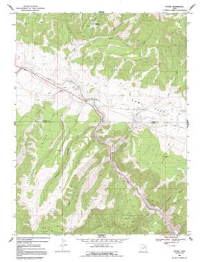
Kyune Topo Map Utah
To zoom in, hover over the map of Kyune
USGS Topo Quad 39110g8 - 1:24,000 scale
| Topo Map Name: | Kyune |
| USGS Topo Quad ID: | 39110g8 |
| Print Size: | ca. 21 1/4" wide x 27" high |
| Southeast Coordinates: | 39.75° N latitude / 110.875° W longitude |
| Map Center Coordinates: | 39.8125° N latitude / 110.9375° W longitude |
| U.S. State: | UT |
| Filename: | o39110g8.jpg |
| Download Map JPG Image: | Kyune topo map 1:24,000 scale |
| Map Type: | Topographic |
| Topo Series: | 7.5´ |
| Map Scale: | 1:24,000 |
| Source of Map Images: | United States Geological Survey (USGS) |
| Alternate Map Versions: |
Kyune UT 1969, updated 1971 Download PDF Buy paper map Kyune UT 1969, updated 1991 Download PDF Buy paper map Kyune UT 1996, updated 1999 Download PDF Buy paper map Kyune UT 2011 Download PDF Buy paper map Kyune UT 2014 Download PDF Buy paper map |
| FStopo: | US Forest Service topo Kyune is available: Download FStopo PDF Download FStopo TIF |
1:24,000 Topo Quads surrounding Kyune
> Back to 39110e1 at 1:100,000 scale
> Back to 39110a1 at 1:250,000 scale
> Back to U.S. Topo Maps home
Kyune topo map: Gazetteer
Kyune: Parks
Price Canyon Campgrounds elevation 2393m 7851′Price Canyon Recreation Area elevation 2386m 7828′
Kyune: Populated Places
Kyune elevation 2160m 7086′Kyune: Reservoirs
Kyune Reservoir elevation 2396m 7860′Kyune: Ridges
Beaver Ridge elevation 2640m 8661′Ford Ridge elevation 2896m 9501′
Kyune: Streams
Bear Creek elevation 2362m 7749′Beaver Creek elevation 2158m 7080′
Ford Creek elevation 2066m 6778′
Horse Creek elevation 2073m 6801′
Kyune Creek elevation 2156m 7073′
Right Fork Kyune Creek elevation 2239m 7345′
Kyune: Summits
Indian Head Peak elevation 2677m 8782′Kyune: Valleys
Crandall Canyon elevation 1964m 6443′Diamanti Canyon elevation 2154m 7066′
Sulphur Canyon elevation 1955m 6414′
Kyune digital topo map on disk
Buy this Kyune topo map showing relief, roads, GPS coordinates and other geographical features, as a high-resolution digital map file on DVD:


