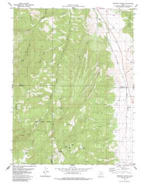
Spencer Canyon Topo Map Utah
To zoom in, hover over the map of Spencer Canyon
USGS Topo Quad 39111g5 - 1:24,000 scale
| Topo Map Name: | Spencer Canyon |
| USGS Topo Quad ID: | 39111g5 |
| Print Size: | ca. 21 1/4" wide x 27" high |
| Southeast Coordinates: | 39.75° N latitude / 111.5° W longitude |
| Map Center Coordinates: | 39.8125° N latitude / 111.5625° W longitude |
| U.S. State: | UT |
| Filename: | o39111g5.jpg |
| Download Map JPG Image: | Spencer Canyon topo map 1:24,000 scale |
| Map Type: | Topographic |
| Topo Series: | 7.5´ |
| Map Scale: | 1:24,000 |
| Source of Map Images: | United States Geological Survey (USGS) |
| Alternate Map Versions: |
Spencer Canyon UT 1979, updated 1985 Download PDF Buy paper map Spencer Canyon UT 2001, updated 2004 Download PDF Buy paper map Spencer Canyon UT 2011 Download PDF Buy paper map Spencer Canyon UT 2014 Download PDF Buy paper map |
| FStopo: | US Forest Service topo Spencer Canyon is available: Download FStopo PDF Download FStopo TIF |
1:24,000 Topo Quads surrounding Spencer Canyon
> Back to 39111e1 at 1:100,000 scale
> Back to 39110a1 at 1:250,000 scale
> Back to U.S. Topo Maps home
Spencer Canyon topo map: Gazetteer
Spencer Canyon: Flats
Mud Flat elevation 2467m 8093′Spencer Canyon: Lakes
Blind Lake elevation 2473m 8113′Hartney Lake elevation 2386m 7828′
Madsen Lake elevation 2434m 7985′
Spencer Canyon: Parks
Spencer Fork Wildlife Management Area elevation 2108m 6916′Spencer Canyon: Streams
Birch Creek elevation 1804m 5918′Corral Fork elevation 2121m 6958′
Dry Creek elevation 1732m 5682′
Page Fork elevation 1862m 6108′
Wheat Grass Creek elevation 1883m 6177′
Spencer Canyon: Summits
Mount Baldy elevation 2756m 9041′Spencer Canyon: Valleys
Bill Canyon elevation 1840m 6036′Blind Canyon elevation 1946m 6384′
Gods Rock Hollow elevation 1863m 6112′
Hjorth Canyon elevation 1848m 6062′
Lake Canyon elevation 1853m 6079′
Left Fork Spencer Canyon elevation 2198m 7211′
Losty Canyon elevation 1780m 5839′
Right Fork Spencer Canyon elevation 2201m 7221′
Rocky Hollow elevation 1824m 5984′
Salt Hollow elevation 1815m 5954′
Spencer Canyon elevation 1758m 5767′
Thompson Hollow elevation 1793m 5882′
Wash Canyon elevation 1754m 5754′
Spencer Canyon digital topo map on disk
Buy this Spencer Canyon topo map showing relief, roads, GPS coordinates and other geographical features, as a high-resolution digital map file on DVD:


