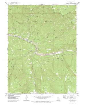
Tucker Topo Map Utah
To zoom in, hover over the map of Tucker
USGS Topo Quad 39111h2 - 1:24,000 scale
| Topo Map Name: | Tucker |
| USGS Topo Quad ID: | 39111h2 |
| Print Size: | ca. 21 1/4" wide x 27" high |
| Southeast Coordinates: | 39.875° N latitude / 111.125° W longitude |
| Map Center Coordinates: | 39.9375° N latitude / 111.1875° W longitude |
| U.S. State: | UT |
| Filename: | o39111h2.jpg |
| Download Map JPG Image: | Tucker topo map 1:24,000 scale |
| Map Type: | Topographic |
| Topo Series: | 7.5´ |
| Map Scale: | 1:24,000 |
| Source of Map Images: | United States Geological Survey (USGS) |
| Alternate Map Versions: |
Tucker UT 2001, updated 2004 Download PDF Buy paper map Tucker UT 2011 Download PDF Buy paper map Tucker UT 2014 Download PDF Buy paper map |
| FStopo: | US Forest Service topo Tucker is available: Download FStopo PDF Download FStopo TIF |
1:24,000 Topo Quads surrounding Tucker
> Back to 39111e1 at 1:100,000 scale
> Back to 39110a1 at 1:250,000 scale
> Back to U.S. Topo Maps home
Tucker topo map: Gazetteer
Tucker: Flats
Coyote Flat elevation 2520m 8267′Tucker: Parks
Starvation Wildlife Management Area elevation 2479m 8133′Tucker: Populated Places
Gilluly elevation 2001m 6564′Sky View elevation 1904m 6246′
Tucker elevation 1898m 6227′
Tucker: Ridges
Bennion Ridge elevation 2657m 8717′Tucker: Streams
Bennion Creek elevation 2084m 6837′Clear Creek elevation 1896m 6220′
Indian Creek elevation 1885m 6184′
Left Fork Clear Creek elevation 2063m 6768′
Right Fork Clear Creek elevation 2062m 6765′
Starvation Creek elevation 1902m 6240′
Tie Fork elevation 1871m 6138′
Tucker: Summits
High Peak elevation 2220m 7283′Tucker Peak elevation 2701m 8861′
Tucker: Valleys
Baker Canyon elevation 2031m 6663′Cottonwood Canyon elevation 1912m 6272′
Davidson Canyon elevation 2012m 6601′
Drunkard Hollow elevation 1988m 6522′
Dry Hollow elevation 2115m 6938′
Hicks Canyon elevation 1864m 6115′
Mine Hollow elevation 2041m 6696′
Mud Hollow elevation 2042m 6699′
Partridge Canyon elevation 2136m 7007′
Soberville Hollow elevation 1972m 6469′
Spring Canyon elevation 1901m 6236′
Starvation Canyon elevation 1902m 6240′
Watson Canyon elevation 1942m 6371′
West Canyon elevation 1937m 6354′
Tucker digital topo map on disk
Buy this Tucker topo map showing relief, roads, GPS coordinates and other geographical features, as a high-resolution digital map file on DVD:


