Smelter Knolls West Topo Map Utah
To zoom in, hover over the map of Smelter Knolls West
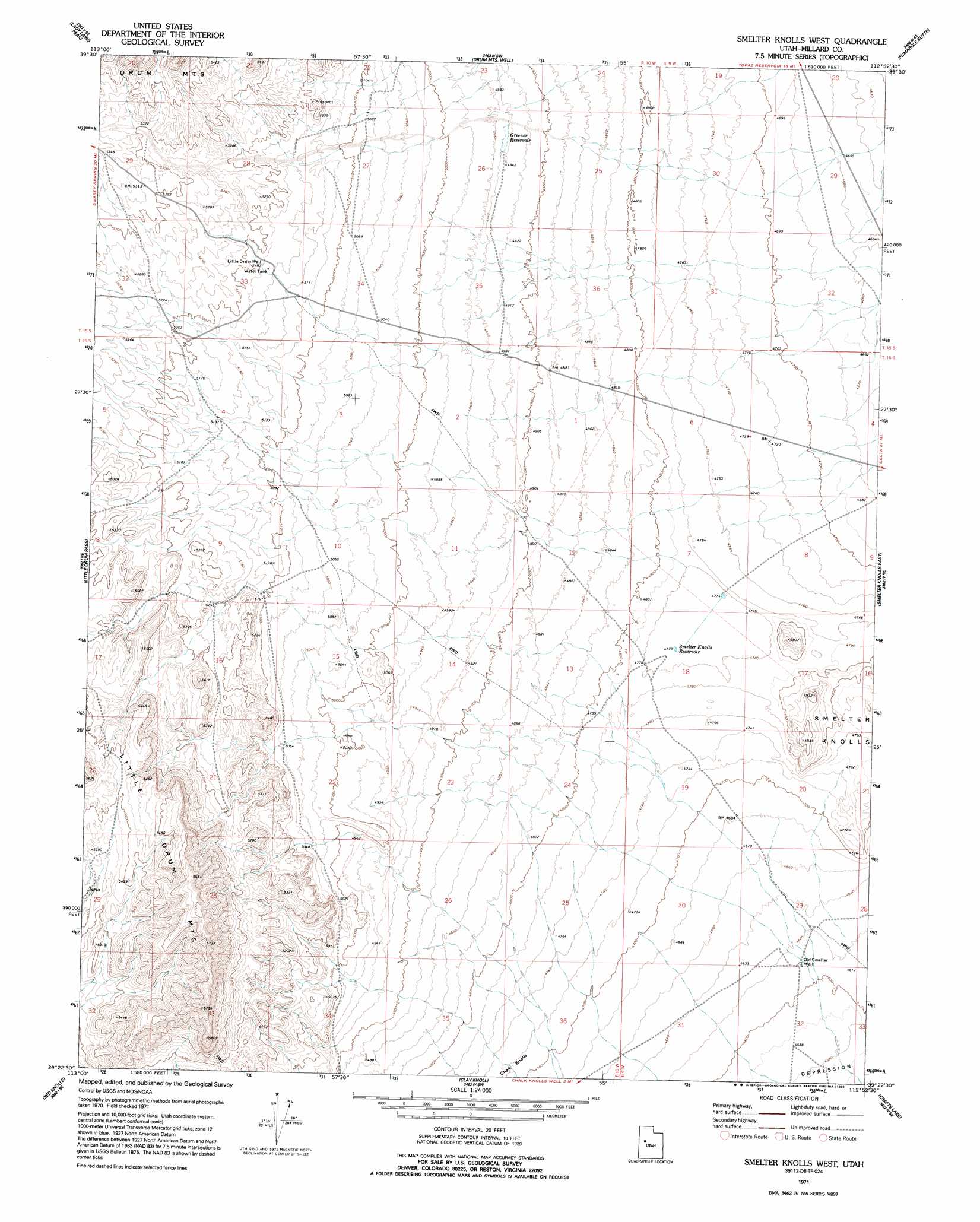
USGS Topo Quad 39112d8 - 1:24,000 scale
| Topo Map Name: | Smelter Knolls West |
| USGS Topo Quad ID: | 39112d8 |
| Print Size: | ca. 21 1/4" wide x 27" high |
| Southeast Coordinates: | 39.375° N latitude / 112.875° W longitude |
| Map Center Coordinates: | 39.4375° N latitude / 112.9375° W longitude |
| U.S. State: | UT |
| Filename: | o39112d8.jpg |
| Download Map JPG Image: | Smelter Knolls West topo map 1:24,000 scale |
| Map Type: | Topographic |
| Topo Series: | 7.5´ |
| Map Scale: | 1:24,000 |
| Source of Map Images: | United States Geological Survey (USGS) |
| Alternate Map Versions: |
Smelter Knolls West UT 1971, updated 1974 Download PDF Buy paper map Smelter Knolls West UT 1971, updated 1992 Download PDF Buy paper map Smelter Knolls West UT 2010 Download PDF Buy paper map Smelter Knolls West UT 2014 Download PDF Buy paper map |
1:24,000 Topo Quads surrounding Smelter Knolls West
Topaz Mountain West |
Topaz Mountain East |
Picture Rock Hills |
The Hogback |
Crater Bench Reservoir |
Topaz Mountain Sw |
Lady Laird Peak |
Drum Mountains Well |
Fumarole Butte |
Baker Hot Springs |
Whirlwind Valley Nw |
Little Drum Pass |
Smelter Knolls West |
Smelter Knolls East |
Sutherland |
Whirlwind Valley Sw |
Red Knolls |
Clay Knoll |
Crafts Lake |
Hinckley |
Long Ridge Reservoir |
Long Ridge |
Rocky Knoll |
Pot Mountain |
Sunstone Knoll |
> Back to 39112a1 at 1:100,000 scale
> Back to 39112a1 at 1:250,000 scale
> Back to U.S. Topo Maps home
Smelter Knolls West topo map: Gazetteer
Smelter Knolls West: Reservoirs
Greener Reservoir elevation 1507m 4944′Smelter Knolls Reservoir elevation 1457m 4780′
Smelter Knolls West: Wells
Little Drum Well elevation 1580m 5183′Old Smelter Well elevation 1406m 4612′
Smelter Knolls West digital topo map on disk
Buy this Smelter Knolls West topo map showing relief, roads, GPS coordinates and other geographical features, as a high-resolution digital map file on DVD: