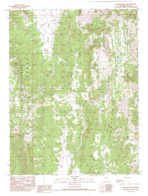
Segura Ranch Topo Map Nevada
To zoom in, hover over the map of Segura Ranch
USGS Topo Quad 39116a3 - 1:24,000 scale
| Topo Map Name: | Segura Ranch |
| USGS Topo Quad ID: | 39116a3 |
| Print Size: | ca. 21 1/4" wide x 27" high |
| Southeast Coordinates: | 39° N latitude / 116.25° W longitude |
| Map Center Coordinates: | 39.0625° N latitude / 116.3125° W longitude |
| U.S. State: | NV |
| Filename: | o39116a3.jpg |
| Download Map JPG Image: | Segura Ranch topo map 1:24,000 scale |
| Map Type: | Topographic |
| Topo Series: | 7.5´ |
| Map Scale: | 1:24,000 |
| Source of Map Images: | United States Geological Survey (USGS) |
| Alternate Map Versions: |
Segura Ranch NV 1990, updated 1990 Download PDF Buy paper map Segura Ranch NV 2012 Download PDF Buy paper map Segura Ranch NV 2015 Download PDF Buy paper map |
| FStopo: | US Forest Service topo Segura Ranch is available: Download FStopo PDF Download FStopo TIF |
1:24,000 Topo Quads surrounding Segura Ranch
> Back to 39116a1 at 1:100,000 scale
> Back to 39116a1 at 1:250,000 scale
> Back to U.S. Topo Maps home
Segura Ranch topo map: Gazetteer
Segura Ranch: Ranges
Antelope Range elevation 2829m 9281′Segura Ranch: Springs
Applebush Hill Spring elevation 2366m 7762′Blair Spring Two elevation 2473m 8113′
Butch Spring elevation 2718m 8917′
Cabin Spring elevation 2248m 7375′
Coal Burner Spring elevation 2658m 8720′
Couger Spring elevation 2499m 8198′
Dick Allison Spring elevation 2239m 7345′
Homestead Spring elevation 2330m 7644′
Mahogany Spring elevation 2484m 8149′
Quaker Spring elevation 2736m 8976′
Segura Spring elevation 2483m 8146′
Segura Spring elevation 2619m 8592′
Segura Spring Four elevation 2671m 8763′
Segura Spring Number Five elevation 2703m 8868′
Segura Spring Three elevation 2547m 8356′
Segura Ranch digital topo map on disk
Buy this Segura Ranch topo map showing relief, roads, GPS coordinates and other geographical features, as a high-resolution digital map file on DVD:


